

If you’re still taking your GNSS and other survey data directly from the field into CAD, you need to see what you’re missing.
What do you do with your survey data after you leave the field? Are you confident in your data integrity? Can you verify data quality and correct errors without returning to the site? Can you quickly merge multiple data sets? Do you have easy access to visualizations and reporting?
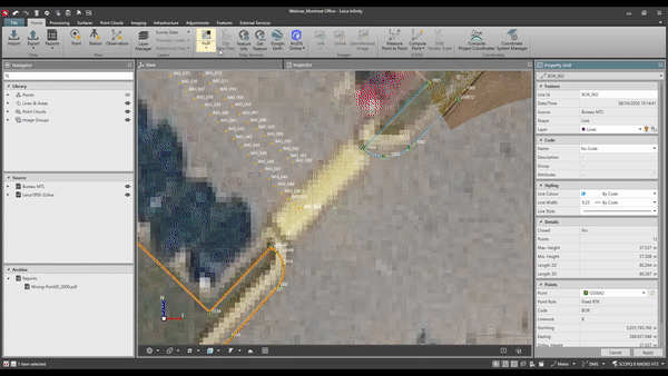
These are just some of the capabilities that are elevating the workflows of some of today’s most successful survey firms, and it’s all possible with the right office software. In a webinar that is now available on-demand, Burke Asay of Leica Geosystems walks you through three scenarios using data captured with the new Leica GS18 I GNSS RTK rover to show you how to maximize your survey workflows in the office using Leica Infinity software.
You’ll learn:
- How to see your linework in a 3D environment to verify quality and identify problem areas
- How to easily fix field data errors in the office
- How to measure points from images to avoid return site visits
- How to create point clouds from images to improve your visualizations
- How to combine image-generated point clouds with LiDAR-captured point clouds to create detailed surfaces, contours and volume reports
- How to combine drone imagery with other sensor data to create impressive deliverables
To learn more about solutions to maximize your surveying potential, please contact us .


