


3D laser scanning allows you to quickly capture, visualize and pre-register data in the field, which can then be processed in the office to deliver conventional 2D models and 3D digital twins, helping you offer better and higher value services to your clients and win new business. As a measurement expert who is skilled at understanding the nuances of data, you have an advantage in applying laser scanning to document structures and environments safer, faster and more effectively. Explore the content below to discover how to put laser scanning to work for your business.
Surveying Reimagined: How Ingenuity and Innovation Create New Opportunities >
“We have to be able to provide fast, cost-effective surveys without compromising on quality. Technology [like the BLK2GO and RTC360] gives us a way to achieve these goals and also opens the door to new projects and new ways of working that we might not have considered before. There has never been a better time to be a surveyor.”

– Jason Larson, PLS, McLaren Engineering Group
READ MORE >
Morrison-Shipley Sets New Benchmark for Fast-Turnaround Reality Capture >
“We are innovative because we want to speed up the delivery of our projects and improve the accuracy of what we do for our clients, but innovation is also a core aspect of our business. We want to give our people opportunities to explore the latest technologies and grow their skills. That approach benefits everyone.”

– Greg Shipley, PE, Morrison-Shipley Engineers Inc.
READ MORE >
Survey Digitalization and the Power of Visualization >

– Donald A. Smith, PLS, BL Companies
READ MORE >
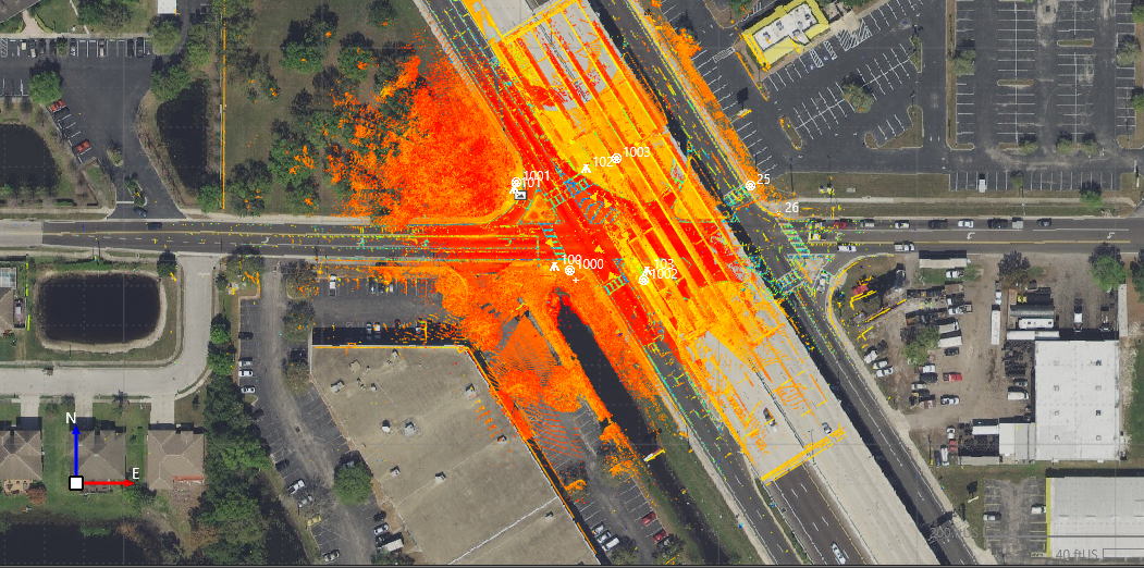
“The amount of data we’re able to accumulate in a very short period of time suddenly transforms the typical dataset that we as surveyors have utilized in the past into a vivid image that shows, without a doubt, how you have a raised section of highway going over a road underneath, and how you have structures and buildings on either side. The ability to have this for communication purposes is huge.”
How to Unlock Your Surveying Potential with Reality Capture >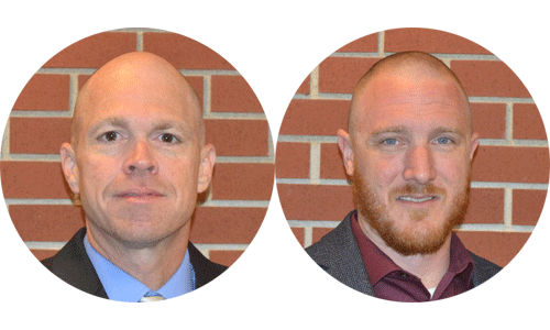
Learn from Derek Twente (left) and Andy Joost how strategically and continually making reality capture technology investments over the past decade, from terrestrial laser scanning to mobile mapping, has launched TWM’s land surveying department into an entirely new trajectory as a self-sufficient leader in billings, profit and innovation
The Payoff of a Scanning Total Station >
“[Laser scanning] keeps my guys out of the middle of the road. It’s a much safer situation. And it’s definitely opened some new doors. We’ve had prospective clients call us and say, ‘Do you do scanning?’ And you can tell right then and there, if we had said no, that would have been the end of it. But now we can say yes.”

– David Titcomb, PLS, Titcomb Associates
LEARN MORE >
Webinar Series Guides Surveyors to Point Cloud Mastery >
 From how to choose the right data capture instrument, to using point clouds in CAD and creating advanced deliverables, this webinar series walks you through everything you need to know.
To talk to one of our experts and learn more about how to optimize your surveying potential with technology, please contact us.


