Learn More
Visual Positioning Innovation Gives GNSS RTK Surveying a Powerful Boost
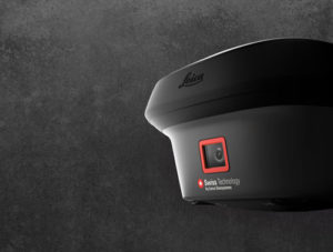 A groundbreaking new GNSS RTK rover has wide-reaching implications for the surveying profession and other applications that require fast, precise measurement. READ MORE
How the Latest GNSS Innovation Keeps Utility Surveyors Safer
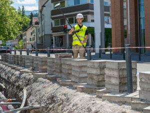 The ability to capture accurate points from a distance with images provides a significant leap in safety and efficiency for subsurface utility engineering. LEARN MORE
A Quick Look at Creating Points from Images with the GS18I:
To talk to one of our experts and learn more about this groundbreaking new solution, please contact us .