REALITY CAPTURE EDUCATION SERIES:
Tips & Tricks to Level Up Your P-Series Scan Data
Join Seth Gulich on May 23 to learn how to use REGISTER 360 PLUS to maximize your P-Series point clouds and save time on multi-sensor workflows.
- Published in Improve Your Skills
Quick Tip Video: How to Test Point Cloud Alignment
Adam Westfall, PS, shows you why TruSlicer is the most important tool you can use to test the alignment of your point cloud on the fly.
- Published in Improve Your Skills
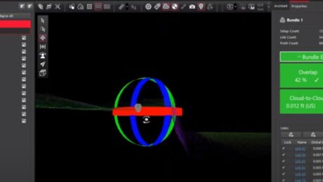
Quick Tip Video: When to Lock Your Links During Point Cloud Registration
Adam Westfall, PS, shows you why locking before or after applying control depends on how the control was generated.
- Published in Improve Your Skills
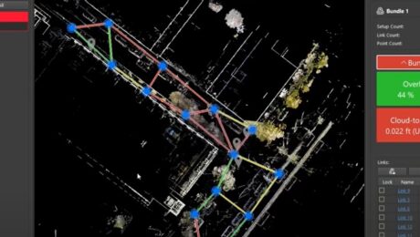
Quick Tip Video: How to Optimize Scan Spacing and Overlap
Adam Westfall, PS, shows you why scan spacing and overlap are critical elements when doing cloud-to-cloud registration.
- Published in Improve Your Skills
REALITY CAPTURE EDUCATION SERIES:
Time-Saving Tools for Ground Surface Modeling
Join Jason Dixon on April 25 to explore tools in Cyclone 3DR software that can simplify and automate your ground surface modeling workflow.
- Published in Improve Your Skills
Video: Tech Insider – What R.W. Engineering & Surveying Finds Most Surprising About the Leica Pegasus TRK Mobile Mapping System
Discover why the civil engineering and land surveying firm chose the TRK and why they see it as a game changer for so many surveying and mapping applications.
- Published in Grow Your Business
R.W. Engineering & Surveying Takes Lean Project Delivery to a New Level with AI-Powered Mobile Mapping
Innovative Leica Pegasus TRK technology enables small firm to provide big value to a wide range of clients throughout the Midwest.
- Published in Featured Grow Your Business, Featured Home
Video: Tech Insider – What Drives Jason Ellis?
Go behind the scenes with Jason Ellis to explore why so many Leica Geosystems mobile mapping customers consider Jason a trusted advisor, mentor, and friend.
- Published in Grow Your Business
REALITY CAPTURE EDUCATION SERIES:
The Unexpected Way to Dominate in Topographic Data Extraction
Join Kyle Palmer in this on-demand session to learn how to create your own software tools that do exactly what you need, so you can have a fast and simple end-to-end solution that is fully within your control.
- Published in Featured Home, Featured Improve Your Skills, Improve Your Skills
The Difference Between New Technology and Innovation in Mobile Mapping
Just because a technology is new doesn’t make it innovative. Jason Ellis explains why the distinction matters.
- Published in Grow Your Business
