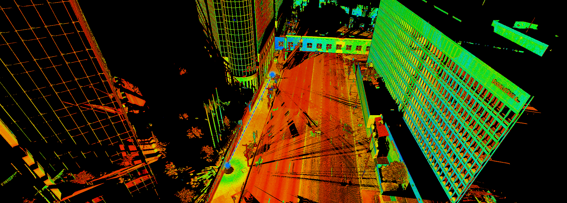
Join Seth Gulich to learn how to use REGISTER 360 PLUS to maximize your P-Series point clouds and save time on multi-sensor workflows.
Now Available On Demand
Whether you’ve been operating your powerhouse Leica ScanStation P-Series laser scanner for nearly a decade or have just recently added it to your toolkit, you probably have a locked-down workflow that includes Cyclone Core software. You might have glanced at the newer software, REGISTER 360 PLUS, and decided it wasn’t for you.
But do you know what you’re missing?
In this 60-minute session, Seth Gulich, PSM, will show you how to use the latest version of REGISTER 360 PLUS to gain a whole new flexibility in your workflow while still achieving the same great results. Using a dataset captured with a P-Series laser scanner, Seth will walk through registering the scans and using software tools to quickly clean up the data. He’ll also demonstrate how to cut back on field and office time when merging data from different sensors into a single registration.
You'll Learn:
- What to expect when bringing P-Series projects into REGISTER 360 PLUS
- How to troubleshoot common scan registration issues
- How to easily merge P-Series scan data with other scan data
You might think you have an ideal workflow, but if you haven’t seen what the latest version of REGISTER 360 PLUS can do with your P-Series and multisensor scan data, you won’t want to miss this session. Watch the recording now on demand.

Seth Gulich, PSM, has nearly 10 years of experience in surveying field and office work, business development, training, project management, and workflow optimization. Working his way from intern to technician to project surveyor, Seth was always curious about the opportunities for LiDAR and drones. After earning his FAA Part 107 Pilot Certificate in 2018, he developed the unmanned aircraft system (UAS) program for Bowman Consulting. He also led the implementation and use of terrestrial and mobile LiDAR applications on projects in the state of Florida and the southeast for Bowman. Since January 2022, Seth has served as an adjunct lecturer for Penn State’s Surveying Engineering program teaching a variety of course work, such as Photogrammetry, State Plane Coordinate Systems and Map Projections. As a reality capture consultant for Leica Geosystems, part of Hexagon, Seth draws on his rich technology background to guide surveying, mapping, and engineering professionals in achieving high productivity and a fast ROI on their technology journey. Follow Seth on LinkedIn.
To talk to one of our experts and learn more about how to optimize your surveying potential with technology, please contact us.


