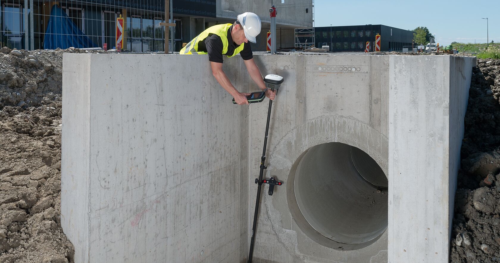
The Leica GS18 T was introduced in 2017 as “the world’s fastest GNSS RTK rover.” It isn’t just a marketing claim.
To illustrate the real-world benefits of the technology, Jose Martins, country manager for Leica Geosystems in Portugal, walks through two different scenarios.
In one case, a surveyor has to measure 2,500 points for a survey job in an urban environment for a 1:100 map scale. Using a conventional GNSS rover, the surveyor would have to spend about 5 seconds per point just to level the bubble before measuring. By the end of the day, the leveling time alone would equate to 3.47 hours.
With the GS18 T, the leveling time is eliminated. The calibration-free instrument doesn’t require the pole to be vertical to level the bubble, allowing the surveyor to move quickly from point to point.
>>RELATED: Learn how the GS18 T cuts project time in half for this Maine surveying firm
In another situation, a surveyor has to stake 300 points in a new urban area. Using conventional GNSS equipment with a 5-second leveling process on each point, the surveyor then has to follow the repetitive process of bringing the pole closer to the point, checking the differences on the controller screen, and moving the pole to a closer position, finally reaching the point after about 20 seconds and two or three iterations. The leveling, moving and rechecking process in this case would require about 1.66 hours of the surveyor’s project time.
With the GS18 T, the surveyor would save at least 10 seconds per point, or 0.88 hours total on the project, since the bottom tip of the pole automatically finds the vertical from the staked point.
Additional Benefits
In addition to the time savings in the field in both surveying and stake-out jobs, the GS18 T provides several other benefits:
- the ability to measure points in complex locations (urban canopy, forested areas) that would impossible to measure with a conventional GNSS rover
- the ability to measure near/around electromagnetic objects without interference
- the ability to work without calibration and at large tilt angles ( ≥ 30 degrees)
- the ability to work in low lighting conditions and at night since you don’t need to see the bubble to level the instrument
- the ability to use intelligent field and office software to combine previously collected survey data, edit projects faster and more efficiently, record how the pole was leveled during the measurement and store the values to ensure measurement traceability and complete quality reporting
- the ability to use a touchscreen controller for fast and easy data processing with 3D visualization
In the above scenarios, if both jobs had been handled by a single surveyor using the Leica GS18 T, that surveyor could have saved up to 4.35 hours — time that could then be spent on other field jobs or completing the work in the office.
Surveyors around the world are reporting incredible productivity benefits from the GS18 T. Considering the numbers, it’s easy to see why.
Have you used the GS18 T? Share your experiences below.
Note: A version of this article originally appeared on LinkedIn: The NEW Leica GS18T and why every single company should have it already in his surveying kit?
To learn more about the GS18 T or explore solutions to increase your productivity, please contact us.


