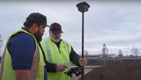
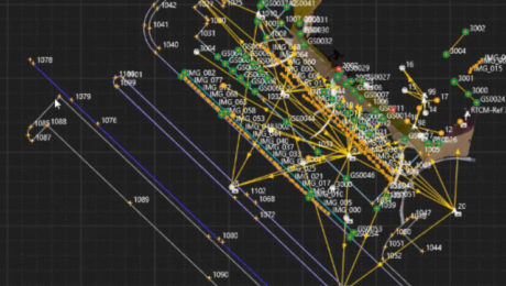
Video: How to Deliver Stockpile Measurements in Minutes with RTK GNSS
Burke Asay shows how to complete your survey in 60 seconds and make the data instantly accessible in the office, with just a few extra minutes for processing and reporting. Is your workflow that fast?
- Published in Improve Your Skills
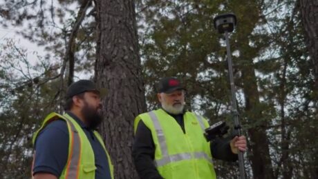
Video: How to Maximize Your RTK GNSS Performance Under Canopy
Are you keeping your RTK GNSS firmware/software up to date? Burke Asay of Leica Geosystems shows how this small step can have a big impact on productivity.
- Published in Improve Your Skills
Webinar: How to Get More from Your RTK GNSS
Join Burke Asay in this on-demand session to learn the most overlooked and underused ways to improve RTK GNSS surveying speed, accuracy, and reliability in even the most difficult environments.
- Published in Improve Your Skills
How to Get Instant Self-Serve Support for Your Survey Gear
When productivity is paramount, the Leica Geosystems Knowledgebase and User Community gives you the answers you need to get back up and running quickly.
- Published in Improve Your Skills
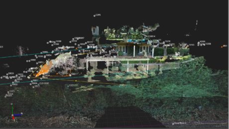
Video: A High-Speed Workflow for RTK GNSS to CAD Deliverables
Leica Geosystems’ Andrew Gillis and MicroSurvey’s Kailey Graves show how to seamlessly integrate a top-line rover with MicroSurvey CAD.
- Published in Improve Your Skills
On-Demand Webinar: Tips, Tricks & Tech for High-Efficiency Surveying: A Live Q&A with the Experts
Examine the real-world implications of some of the latest technology advances along with insights on how to put technology to work in your firm.
- Published in Featured Home, Featured Improve Your Skills, Improve Your Skills
Secrets from the Surveying Firm That Is Accelerating Solar Farm Construction
Combining the speed of a tilt rover with the automation of stylesheets has propelled Challenger Geomatics to the forefront of high-efficiency surveying for large-scale renewable energy projects.
- Published in Featured Grow Your Business, Featured Home, Grow Your Business
A ‘Technology Consultancy’: G4 Geomatic Resources Takes Innovative Approach to Equipment, Service and Support
New business combines the expertise of G4 Spatial Technologies, Geomatic Resources, Easy Drive and Leica Geosystems Houston to create the ultimate technology resource in Texas and Oklahoma.
- Published in Featured Grow Your Business, Featured Home, Grow Your Business
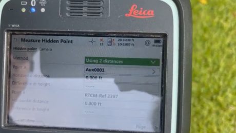
Video: Three Fast and Easy Ways to Survey a Hidden Point
G4 Geomatic Resources’ Jeff Ryall shows three ways to use the CS20 Disto option with GNSS RTK to survey an inaccessible point so you can quickly finish your field work.
- Published in Improve Your Skills
Small Business, Big Service: How Gromatici Land Surveying Delivers Impressive Efficiency and Quality
An innovative business approach blazes new trails for how surveying will be performed in the future.
- Published in Featured Grow Your Business, Grow Your Business
