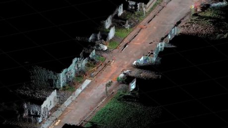
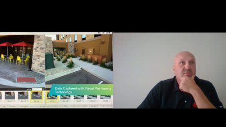
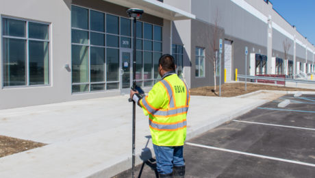
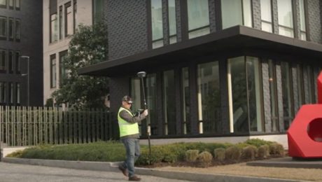
Video: How GNSS with Visual Positioning Streamlines Road Construction Surveys
Andrew Gillis of Leica Geosystems shows a fast, easy way to collect survey data for a road construction project using the GS18 I GNSS smart antenna.
- Published in Improve Your Skills
Video: FIG Young Surveyors’ Conference Presentation Highlights Surveying Sustainability
Jason Houle of Leica Geosystems presents an engaging look at how to harness technology for an agile, sustainable future.
- Published in Grow Your Business
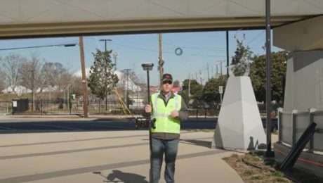
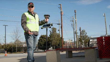
Video: Pro Tip – Visual Positioning Explained
See how easy it is to capture image groups as you walk with the GS18 I.
- Published in Improve Your Skills
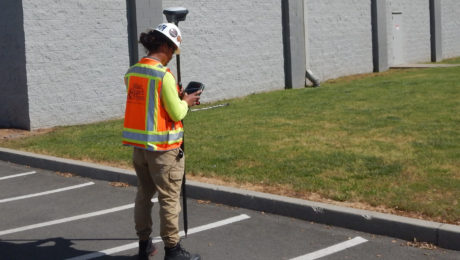
Blair, Church & Flynn Strengthens Surveying Leadership with Investment in GNSS Innovation
Using the GS18 I GNSS RTK rover with visual positioning provides marked improvement in surveyor safety and efficiency while maintaining outstanding quality.
- Published in Featured Grow Your Business, Featured Home, Grow Your Business
Video: Capturing Impossible Points with GNSS
Innovative technology like the GS18 I GNSS RTK rover makes previously inaccessible points easy to capture – even when they’re on top of a wall or behind a fence.
- Published in Improve Your Skills
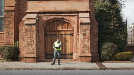
Video: Pro Tip – How to Capture Intricate Architectural Details with GNSS
Detailed building façade surveys can be done quickly and easily using GNSS with visual positioning technology.
- Published in Featured Improve Your Skills, Improve Your Skills
Video: Pro Tip – How to Anticipate Every Data Need with Your GNSS Survey
Streamline your surveys and avoid return site visits knowing you can pull any measurement you need from the dataset once you’re back in the office.
- Published in Featured Improve Your Skills, Improve Your Skills
How RQAW Makes Surveying Smarter
An in-house surveying department with innovative GNSS technology gives an Indiana-based engineering and architecture firm an edge in safety, productivity and service excellence.
- Published in Featured Grow Your Business, Grow Your Business
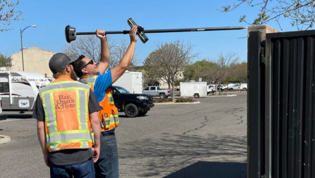
Video: Pro Tip – How to Survey Areas with Limited Access Using GNSS
Surveying behind a security gate or other inaccessible area is no problem with the GS18 I.
- Published in Featured Improve Your Skills, Improve Your Skills
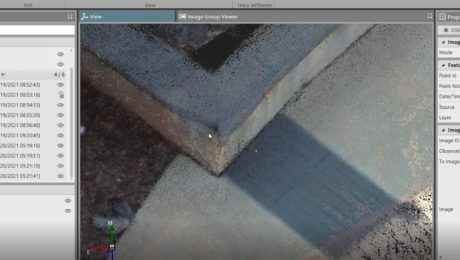
Video: Pro Tip – How to Capture Every Detail with GNSS
See how GNSS with visual positioning lets you easily capture details like broken brick corners so you can deliver better survey results.
- Published in Featured Improve Your Skills, Improve Your Skills
