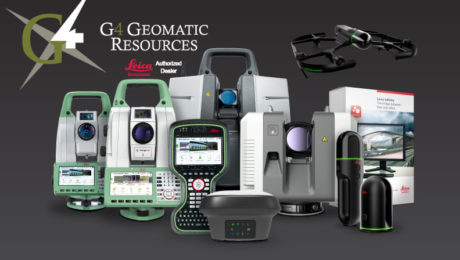
A ‘Technology Consultancy’: G4 Geomatic Resources Takes Innovative Approach to Equipment, Service and Support
New business combines the expertise of G4 Spatial Technologies, Geomatic Resources, Easy Drive and Leica Geosystems Houston to create the ultimate technology resource in Texas and Oklahoma.
- Published in Featured Grow Your Business, Featured Home, Grow Your Business
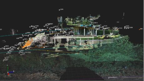
New Autonomous Reality Capture Sensors Make Digital Twins Effortless
New fully autonomous solutions safely and repeatedly capture accurate 3D point clouds and panoramic images of changing environments with minimal user intervention.
Small Business, Big Service: How Gromatici Land Surveying Delivers Impressive Efficiency and Quality
An innovative business approach blazes new trails for how surveying will be performed in the future.
- Published in Featured Grow Your Business, Grow Your Business
What You Need to Know about the New FAA Drone Rules
New FAA rules for unmanned aircraft went into effect in March 2021. Here’s what you need to know to stay in compliance.
- Published in Improve Your Skills
UAS Surveying
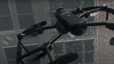
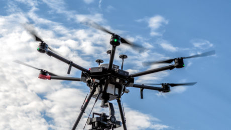
Surveying firms are taking their work to new heights with unmanned aircraft systems. Here are some examples.
- Published in Grow Your Business
Video: UAS Safety Beyond the Regulations
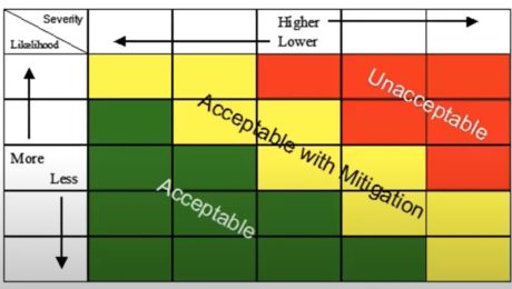
Safety is crucial to flying UAVs. Learn how to assess and minimize risk to achieve the best outcomes with every flight.
- Published in Improve Your Skills
Video: How GNSS with Visual Positioning Creates New Opportunities for Surveyors
If your RTK rover could see, how would that transform the services you offer your clients? What new doors would it open? Here’s one idea to consider.
- Published in Grow Your Business
On-Demand Webinar: UAS Best Practices for Geospatial Professionals
From photogrammetry basics to ASPRS mapping standards and accuracy requirements, here’s what you need to know to be successful with UAS/UAVs.
- Published in Improve Your Skills
Explore the Latest in GIS, Reality Capture and Detection in These On-Demand Sessions from the 2020 Esri UC Virtual Event
Virtual GIS event provides unique opportunities to discover cutting-edge solutions for asset collection and mapping.
- Published in Featured Improve Your Skills, Hide, Improve Your Skills
Can You Achieve Survey-Quality Results with an Unmanned Aircraft System?
It is possible to take advantage of the benefits of a UAS without sacrificing your high quality standards—if you understand the variables and follow best practices
- Published in Improve Your Skills
- 1
- 2

