Full-Service 3D Mapping Is an Infrastructure Game-Changer. Here’s How Langan Is Leading the Way
Wednesday, 08 May 2024
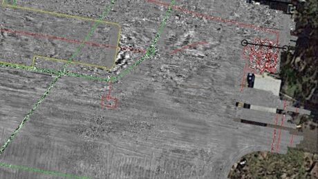
A novel approach pioneered by Langan combines above-ground and below-ground high-accuracy 3D mapping to give project stakeholders quick access to comprehensive site intelligence.
- Published in Grow Your Business
GPR for Everyone: How Underground Asset Detection Creates New Surveying Opportunities
Tuesday, 14 July 2020
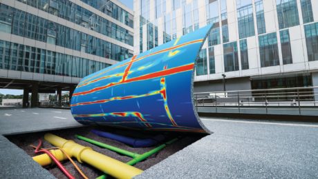
Advances in ground penetrating radar (GPR) make it easy to view and interpret data in the field.
- Published in Improve Your Skills
Explore the Latest in GIS, Reality Capture and Detection in These On-Demand Sessions from the 2020 Esri UC Virtual Event
Thursday, 25 June 2020
Virtual GIS event provides unique opportunities to discover cutting-edge solutions for asset collection and mapping.
- Published in Featured Improve Your Skills, Hide, Improve Your Skills
How Surveying Technology Partnerships Create a Solid Foundation for Smart Cities
Friday, 22 November 2019
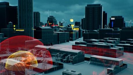
Accurate geospatial data is crucial to creating the cities of the future. Sam Dougherty, PLS, explains why working with the right technology partner matters.
- Published in Grow Your Business


