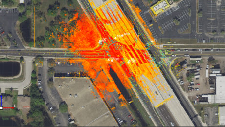
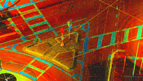
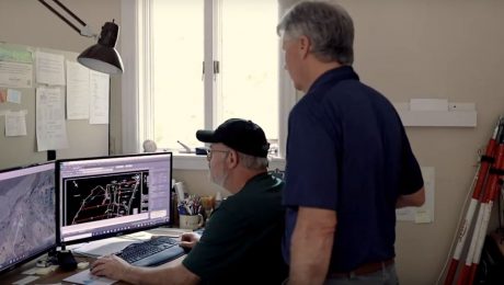
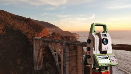
Webinar Series Guides Surveyors to Point Cloud Mastery
From how to choose the right laser scanner, to using point clouds in CAD and creating advanced deliverables, this webinar series walks you through everything you need to know.
- Published in Featured Improve Your Skills, Improve Your Skills
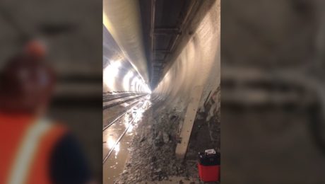
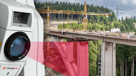
Video: Band Scanning Solves Tunnel Measurement Challenge
Using the Leica MS60 with the new band scanning method enables surveyors to capture comprehensive data in a tunnel 200 feet underground.
- Published in Featured Grow Your Business, Featured Home, Grow Your Business
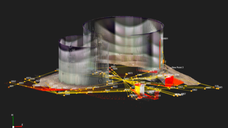
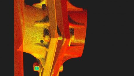
On-Demand Webinar Provides Tips to Help Surveyors Maximize Point Clouds
If you’ve already mastered the ability to integrate point cloud datasets with linework, it’s time to streamline your workflows and advance your deliverables.
- Published in Featured Home, Featured Improve Your Skills, Improve Your Skills
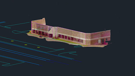
On-Demand Webinar Walks Surveyors Through Using Point Clouds in CAD
If you’re just getting started in laser scanning, learn the easy way to achieve seamless data transfers, full data traceability and efficient, effective drawings and models.
- Published in Featured Home, Improve Your Skills
On-Demand Webinar Provides Practical Advice for Entry-Level Laser Scanning
Technology advances make it easier than ever for surveyors to get involved in laser scanning, but strategy matters. Understanding the key considerations in making technology decisions will position you for the best success.
- Published in Featured Home, Improve Your Skills
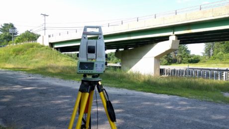
The Payoff of a Scanning Total Station
What’s better for everyday surveying than a fast and accurate total station? As David E. Titcomb, PLS, explains, a multistation provides significant advantages.
- Published in Featured Grow Your Business, Featured Home, Grow Your Business
What’s Different About the New MS60?
Have you been thinking about a new total station or laser scanner? Be sure to check out this new MultiStation first.
- Published in Featured Improve Your Skills, Improve Your Skills
Clean Data, Survey Versatility Among Key Reasons to Use a MultiStation
Why should you consider using a MultiStation? Users cite clean and accurate point cloud data along with the ability to get fast, precise total station measurements in one solution.
- Published in Grow Your Business
Video: This Survey Firm Knows the Secret to Great Client Relationships
What’s the best way to set your firm apart and complete high-quality work quickly and accurately? Titcomb Associates shares their strategy.
- Published in Featured Grow Your Business, Featured Home, Grow Your Business
On-Demand Webinar: How to Supercharge Your Surveying with a MultiStation
For more than five years, only one scanning total station has been good enough to be chosen first for its fast, precise robotic total station capabilities: the Leica Nova MultiStation.
- Published in Featured Improve Your Skills, Improve Your Skills
- 1
- 2
