

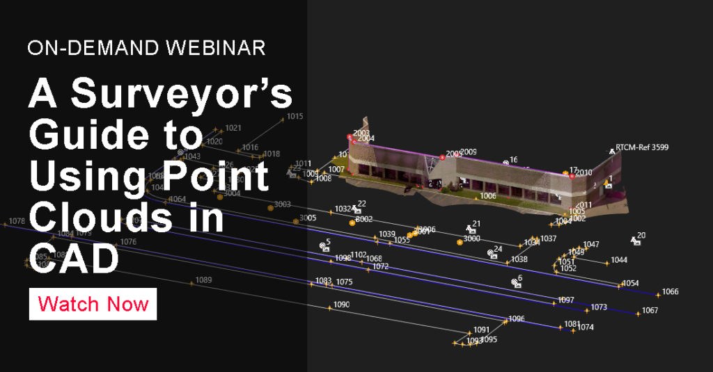
Laser scanning is the fastest way to capture accurate, comprehensive measurement data in your surveying projects, and technology advances such as the latest generation multistation make it easy to add laser scanning capabilities to your surveying workflows. But what’s the best way to integrate point cloud datasets with linework to create a high-value deliverable? With software plugins, you can easily work with large point clouds directly in your CAD system.
In a webinar that is now available on-demand, Burke Asay and Michael Harvey of Leica Geosystems take you from data capture to deliverable using Leica Captivate, Infinity and CloudWorx to show you how to achieve seamless data transfers, full data traceability and efficient, effective drawings and models. You’ll learn:
-
How to verify the quality of your data, correct errors and generate reliable reports to minimize your risk.
-
How to use imaging to create missing points from pictures.
-
How to use point clouds and imaging to save time in the field and the office.
See how easy it can be to achieve an efficient field-to-finish workflow integrating point clouds with linework in your CAD environment.
Watch the on-demand webinar here.
Register now for our next session in the series on June 25: A Surveyor’s Guide to Maximizing the Value of Point Clouds.
To talk to one of our experts and learn more about how to grow your surveying business, please contact us.


