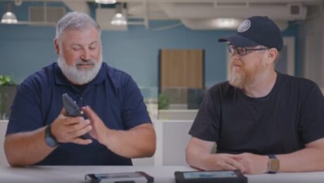
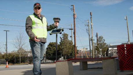
Video: Touchscreen Field Controller vs. Physical Keyboard Showdown
What’s better for data entry in the field – a touchscreen or a physical keyboard? Burke and Alex battle it out in this video.
- Published in Featured Home, Grow Your Business, Improve Your Skills
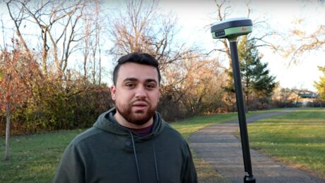
Video: How to Deliver Stockpile Measurements in Minutes with RTK GNSS
Burke Asay shows how to complete your survey in 60 seconds and make the data instantly accessible in the office, with just a few extra minutes for processing and reporting. Is your workflow that fast?
- Published in Improve Your Skills
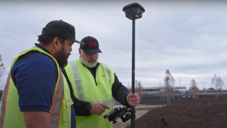
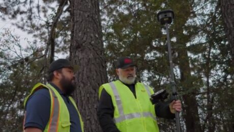
Video: How to Maximize Your RTK GNSS Performance Under Canopy
Are you keeping your RTK GNSS firmware/software up to date? Burke Asay of Leica Geosystems shows how this small step can have a big impact on productivity.
- Published in Improve Your Skills
Video: Keep Your Survey Data Accurate With Real-Time Error Identification and Correction
G4 Geomatic Resources’ Jeff Ryall shows how to enhance surveying accuracy and efficiency with Leica Captivate’s Measure Foresight routine and Leica Infinity.
- Published in Improve Your Skills
How to Scale a Small Surveying Business in a Talent Crunch
Hiring more people is one way to expand your capabilities to meet demand for more surveys. But it’s not the only way.
- Published in Featured Grow Your Business, Featured Home, Grow Your Business
New Field App Makes Staking Workflows Fast and Easy
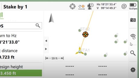
An app that app does all the work while you maintain all the control? That’s what you’ll find in Captivate Quick Stake.
- Published in Improve Your Skills
Video: Pro Tip – Visual Positioning Explained
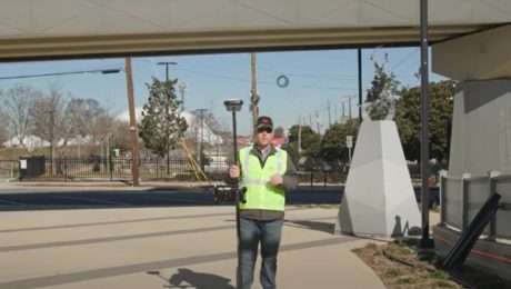
See how easy it is to capture image groups as you walk with the GS18 I.
- Published in Improve Your Skills
Video: Pro Tip – How to Capture Intricate Architectural Details with GNSS
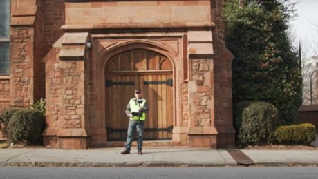
Detailed building façade surveys can be done quickly and easily using GNSS with visual positioning technology.
- Published in Featured Improve Your Skills, Improve Your Skills
Video: Pro Tip – How to Anticipate Every Data Need with Your GNSS Survey
Streamline your surveys and avoid return site visits knowing you can pull any measurement you need from the dataset once you’re back in the office.
- Published in Featured Improve Your Skills, Improve Your Skills
