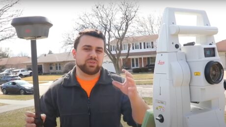
Video: Touchscreen Field Controller vs. Physical Keyboard Showdown
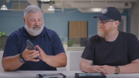
What’s better for data entry in the field – a touchscreen or a physical keyboard? Burke and Alex battle it out in this video.
- Published in Featured Home, Grow Your Business, Improve Your Skills
Video: The Easiest Way to Eliminate Busted Rod Heights in Your Surveys
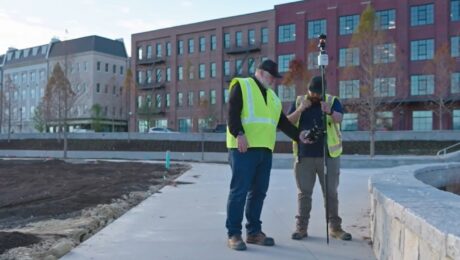
Burke Asay shows you how to fix rod height errors without compromising productivity.
- Published in Improve Your Skills
Video: How to Achieve 100% Position Quality Verification on All Your Control Points
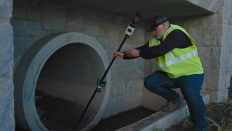
Burke Asay shows an easy way to achieve high accuracy and verify position quality in your survey data.
- Published in Improve Your Skills
Video: How to Survey a Complex Jobsite in Under 15 Minutes While Capturing Extreme Detail
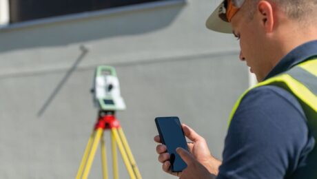
Burke Asay shows how to use the Leica MS60 band scanning capability to scan small, complex areas within a conventional total station workflow for a fast and easy solution.
- Published in Improve Your Skills
Video: How BKF Engineers Is Redefining Excellence
Being an innovation leader requires the best people, technologies, and partnerships.
- Published in Grow Your Business
Video: The Art and Evolution of Surveying
U.S. Navy veteran, geomatics specialist, biker and artist Bill Murphy talks technology and trends in this Tech Insider interview.
- Published in Grow Your Business
How to Get Instant Self-Serve Support for Your Survey Gear
When productivity is paramount, the Leica Geosystems Knowledgebase and User Community gives you the answers you need to get back up and running quickly.
- Published in Improve Your Skills
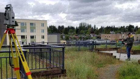
Video: Which is Better – a Total Station or GNSS Receiver?
Watch as Rami Tamimi takes a total station and GNSS receiver head to head for time, accuracy, and overall functionality.
- Published in Improve Your Skills
Technology Review: Leica AP20 AutoPole ‘Does Not Disappoint’
Finally, there’s a surveying prism pole system with tilt compensation and other capabilities that can boost productivity. But does it actually work as claimed? Gavin Schrock tested it for GoGeomatics.
- Published in Grow Your Business
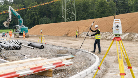
The Most Efficient Way to Do a Total Station Survey
How much faster could you survey if you didn’t have to stop to level up your prism pole? This new system promises significant time savings.
- Published in Improve Your Skills
