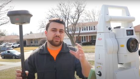
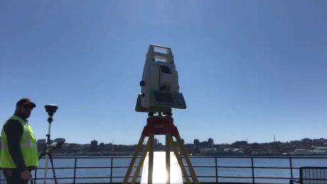
Video: Which is Better – a Total Station or GNSS Receiver?
Watch as Rami Tamimi takes a total station and GNSS receiver head to head for time, accuracy, and overall functionality.
- Published in Improve Your Skills
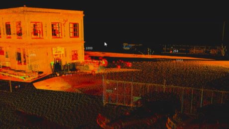
Video: Easy Scanning, Import, and Editing with a Scanning Total Station and Surveyor-Focused CAD Software
Leica Geosystems’ Andrew Gillis and MicroSurvey’s Kailey Graves show how to streamline an as-built survey workflow by pairing the MS60 MultiStation with MicroSurvey CAD software.
- Published in Improve Your Skills
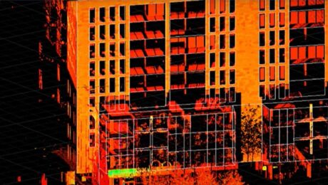
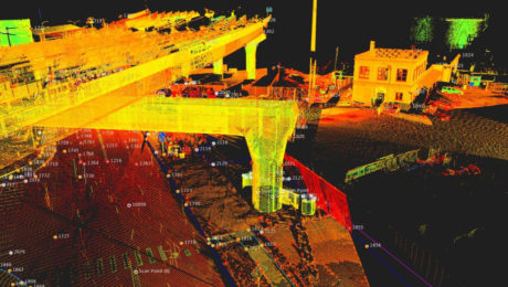
Survey Digitalization and the Power of Visualization
Want to improve project communication within your organization and with your clients? Point clouds and flythrough videos speak volumes.
- Published in Featured Grow Your Business, Featured Home, Grow Your Business
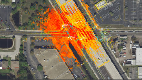
Three Ways Your Surveying Practices Might Be Falling Short
Do you use laser scanning in your surveying work? If not, you might be missing out on key advantages that are rapidly becoming standard.
- Published in Featured Home, Featured Improve Your Skills, Improve Your Skills
Survey Digitalization and the Power of Visualization
Want to improve project communication within your organization and with your clients? Point clouds and flythrough videos speak volumes.
- Published in Featured Grow Your Business, Featured Home, Grow Your Business
On-Demand Webinar: Automation, Digitalization and the Rise of the Next Generation Surveyor
Discover how to harness technology to achieve a digital transformation that will have an impact on your current business and the future of the profession.
- Published in Featured Grow Your Business, Grow Your Business
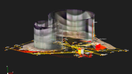
Webinar Series Guides Surveyors to Point Cloud Mastery
From how to choose the right laser scanner, to using point clouds in CAD and creating advanced deliverables, this webinar series walks you through everything you need to know.
- Published in Featured Improve Your Skills, Improve Your Skills
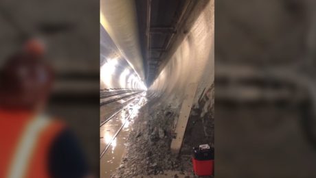
Video: Band Scanning Solves Tunnel Measurement Challenge
Using the Leica MS60 with the new band scanning method enables surveyors to capture comprehensive data in a tunnel 200 feet underground.
- Published in Featured Grow Your Business, Featured Home, Grow Your Business
On-Demand Webinar Provides Tips to Help Surveyors Maximize Point Clouds
If you’ve already mastered the ability to integrate point cloud datasets with linework, it’s time to streamline your workflows and advance your deliverables.
- Published in Featured Home, Featured Improve Your Skills, Improve Your Skills
Video: How Technology Affects Speed in a Topographic Survey
A test of the MS60 MultiStation with the GS18T RTK rover and Smartpole shows how quickly you can perform a site topo if you have the right technology.
- Published in Grow Your Business
- 1
- 2
