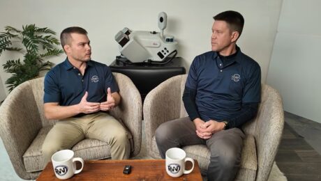
Video: How BKF Engineers Is Redefining Excellence
Being an innovation leader requires the best people, technologies, and partnerships.
- Published in Grow Your Business
Video: The Art and Evolution of Surveying
U.S. Navy veteran, geomatics specialist, biker and artist Bill Murphy talks technology and trends in this Tech Insider interview.
- Published in Grow Your Business
Video: The Intersection of GIS and Reality Capture in Digital Twins for the Built Environment
Reality capture consultant Patrick Crawford, GISP, reflects on his journey through the geospatial industry and what it takes to build a successful career.
- Published in Grow Your Business
Video: Drone Surveying, SLAM Scanning, and the Future of Reality Capture
Reality Capture Consultant Eric Cowan shares insights on top surveying trends in this intriguing interview.
- Published in Grow Your Business
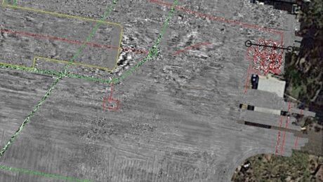
Full-Service 3D Mapping Is an Infrastructure Game-Changer. Here’s How Langan Is Leading the Way
A novel approach pioneered by Langan combines above-ground and below-ground high-accuracy 3D mapping to give project stakeholders quick access to comprehensive site intelligence.
- Published in Grow Your Business
How to Be an Innovation Leader in Surveying and Engineering
Hint: Your partnerships matter as much as your technology.
- Published in Grow Your Business
Langan Delivers Futuristic Surveying and Mapping with the Pegasus TRK
Using a mobile mapping system that is ‘leaps and bounds over everything else in the market’ gives the firm a significant advantage in speed, data quality, and safety.
- Published in Featured Grow Your Business, Featured Home
Video: How to Deliver Stockpile Measurements in Minutes with RTK GNSS
Burke Asay shows how to complete your survey in 60 seconds and make the data instantly accessible in the office, with just a few extra minutes for processing and reporting. Is your workflow that fast?
- Published in Improve Your Skills
Video: How to Maximize Your RTK GNSS Performance Under Canopy
Are you keeping your RTK GNSS firmware/software up to date? Burke Asay of Leica Geosystems shows how this small step can have a big impact on productivity.
- Published in Improve Your Skills
Video: Tech Insider – What R.W. Engineering & Surveying Finds Most Surprising About the Leica Pegasus TRK Mobile Mapping System
Discover why the civil engineering and land surveying firm chose the TRK and why they see it as a game changer for so many surveying and mapping applications.
- Published in Grow Your Business


