REALITY CAPTURE EDUCATION SERIES:
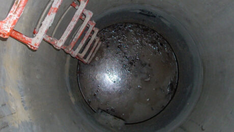
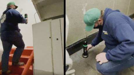
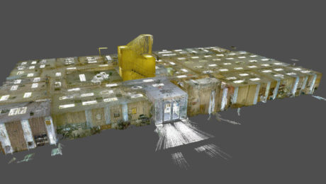
The Best Way to Achieve Fast, Accurate Reality Capture in Confined Spaces
Join Eric Cowan in this on-demand webinar to learn how to differentiate your topographic scanning services with high-value confined-space laser scanning.
- Published in Featured Home, Featured Improve Your Skills, Improve Your Skills
Video: An Easy Way to Capture Detailed Storm and Sanitary Data in a Two-Minute Site Survey
An imaging laser scanner with a highly automated workflow and intuitive apps enables survey work to be done in a fraction of the time compared to traditional approaches.
- Published in Improve Your Skills
Esri UC 22 Highlights: The Future of GIS Data Collection, Mobile Reality Capture, GPR Utility Detection and More
Explore the fastest, simplest solutions for capturing and delivering high-accuracy mapping data at Booth 619.
- Published in Featured Improve Your Skills, Improve Your Skills
Innovative Laser Scanning Approach Yields Rapid Results in Time-Critical Surveying Project
When high-speed wasn’t fast enough, McLaren Engineering Group turned to high-tech in the form of a handheld imaging laser scanner to deliver the ultimate value.
- Published in Grow Your Business
New Autonomous Reality Capture Sensors Make Digital Twins Effortless
New fully autonomous solutions safely and repeatedly capture accurate 3D point clouds and panoramic images of changing environments with minimal user intervention.
How to Be Successful in Reality Capture
Adding reality capture to your surveying tool set can create significant opportunities for new business. Jason Larson, PLS, of McLaren Engineering Group, provides insights on how to do it well.
- Published in Grow Your Business
Morrison-Shipley Sets New Benchmark for Fast-Turnaround Reality Capture
A handheld imaging laser scanner proves invaluable in meeting a tight project timeline.
- Published in Featured Grow Your Business, Grow Your Business
On-Demand Webinar – Surveying Reimagined: How Ingenuity and Innovation Create New Opportunities
Learn how McLaren Engineering Group’s transformative approach to surveying leads to business growth, client satisfaction, employee happiness and outstanding results.
- Published in Featured Grow Your Business, Featured Home, Grow Your Business
