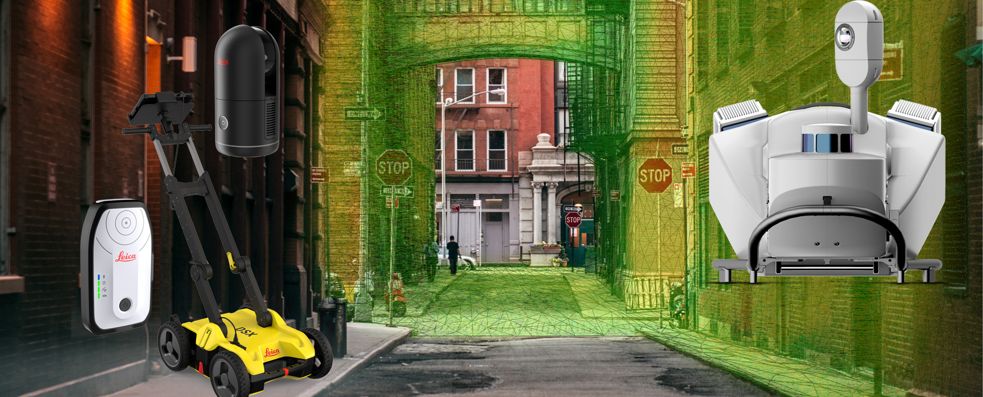
Explore the fastest, simplest solutions for capturing and delivering high-accuracy mapping data at Booth 619.
Jump to: Asset Data Collection | Augmented Reality GIS | Reality Capture | Utility Detection | Mobile Mapping
Truly harnessing the power of maps and GIS requires the ability to create living representations of reality in the digital space. But once data is captured, you can never increase its accuracy. To create the best maps, you have to start with the right data capture approach. The Esri User Conference is an ideal place to learn how to take your GIS to the next level.
To create the best maps, you have to start with the right data capture approach.
Back in person this year in San Diego, July 11-15, the Esri UC gives you an opportunity to go hands-on with some of the most transformational data capture technologies ever developed. Among the highlights at this year’s event are the solutions at the Leica Geosystems Booth 619, which enable you to collect high-accuracy mapping data faster and easier than ever before. Explore below.
Simple, accurate, real-time asset data collection
Maximum flexibility with full iOS, Android and Windows compatibility

In an ideal world, every utility inspector would be able to use his or her own mobile device to collect precise and accurate asset data for a real-time GIS. That world is within reach. The new Leica Zeno FLX100 plus is designed for accuracy, ease of use and seamless integration with commonly used field apps and GIS databases. Supported by software running on Android, iOS or Windows, it’s the easiest, most flexible way to collect high-accuracy asset data. The Leica Zeno Connect app makes it easy to stream high-accuracy GNSS positions from the FLX100 plus to third-party software. At the Esri UC, you’ll be able to explore the new solution and consult with GIS specialists.
Engineering-grade augmented reality
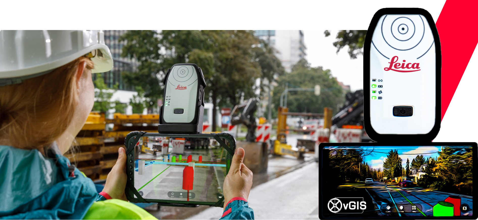
Unlock additional value of your GIS data. Display existing infrastructure, BIM data, indoor GIS and reality capture in high-accuracy augmented reality to locate assets, detect construction problems, prevent errors and improve collaboration. vGIS and Leica Geosystems combine the cutting-edge software and trusted instruments to bring centimeter-level accurate AR to help you save time and avoid costly mistakes. Explore the potential of AR GIS at booth 619.
Reality capture for everyone
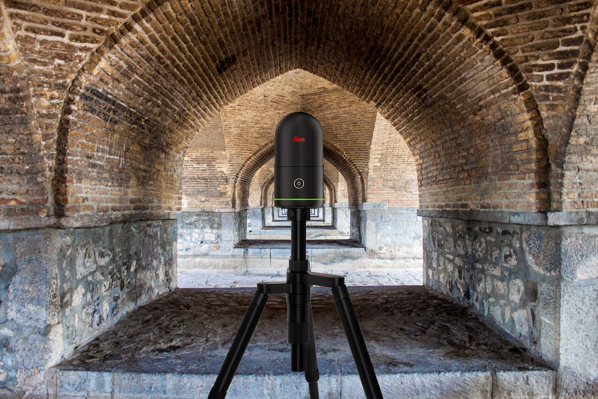
The launch of the award-winning Leica BLK Series of imaging laser scanners in 2016 removed all barriers to reality capture. The line has since expanded to include mobile and autonomous solutions. June 2022 marked another BLK innovation: The new Leica BLK360. Still designed to help new-to-LiDAR users capture point clouds and unlock their potential, the new BLK360 does so seven times faster than the original. Other upgrades include higher quality images, better-looking point clouds, and location tracking that pre-aligns your scans using our patented VIS system. You’ll be able to go hands-on with the new BLK360 at the Esri UC event, as well as the BLK2GO handheld imaging laser scanner and the BLK2FLY autonomous flying laser scanner. The popular high-speed stationary RTC360 laser scanner will also be available.
Clear, effortless utility detection
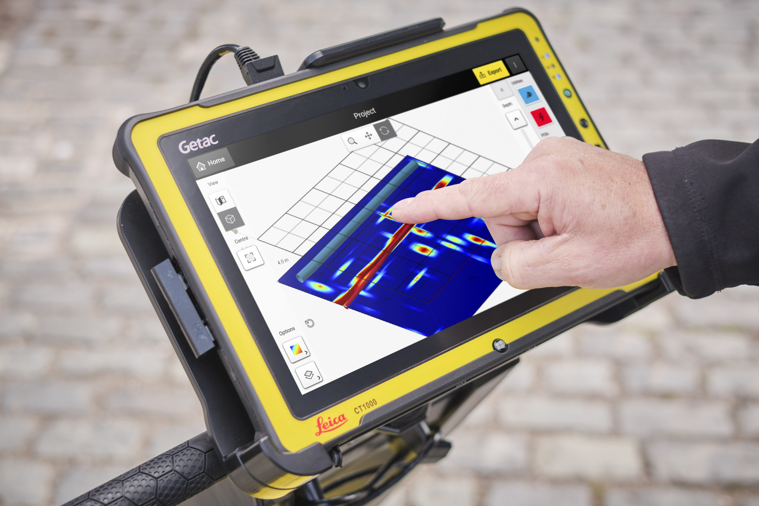
GPR and electromagnetic technologies make it easier to find underground utilities so you can avoid utility strikes and maximize your assets. The latest technologies increase safety, speed up work, lower asset management costs—and can even automate data analysis and create 3D utility maps in the field. You’ll be able to test drive the latest, most innovative solutions at the Esri UC.
Autonomous, intelligent, simplified mobile mapping
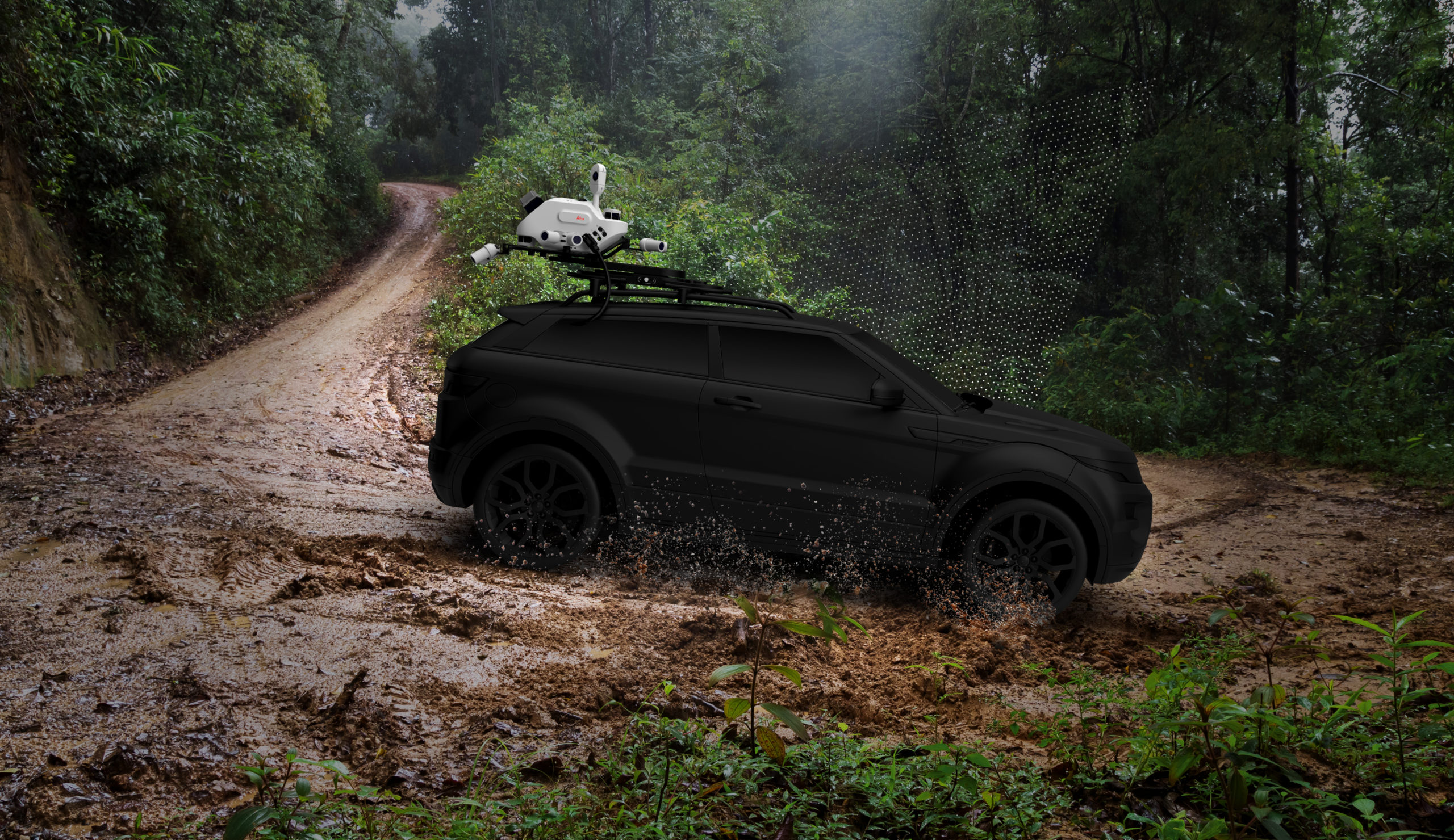
The Leica Pegasus TRK is mobile mapping reimagined. With a rotation-tilting mounting platform, ergonomic design, autonomous functionality and automated workflows, the Pegasus TRK delivers exceptional productivity for both survey-grade and asset data collection. Go behind the scenes with the experts on this transformational reality capture technology.
Creating the maps to help the world navigate a successful, sustainable, autonomous future requires capturing data to the highest possible levels of accuracy and productivity. Are you ready?
Explore the solutions at the Esri UC Booth 619 to see what’s possible.

