REALITY CAPTURE EDUCATION SERIES:
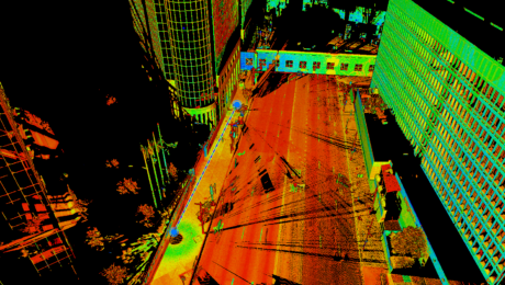
Tips & Tricks to Level Up Your P-Series Scan Data
Join Seth Gulich on May 23 to learn how to use REGISTER 360 PLUS to maximize your P-Series point clouds and save time on multi-sensor workflows.
- Published in Improve Your Skills
REALITY CAPTURE EDUCATION SERIES:
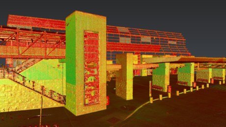
Time-Saving Tools for Ground Surface Modeling
Join Jason Dixon on April 25 to explore tools in Cyclone 3DR software that can simplify and automate your ground surface modeling workflow.
- Published in Improve Your Skills
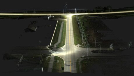
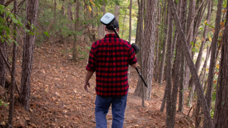
R.W. Engineering & Surveying Takes Lean Project Delivery to a New Level with AI-Powered Mobile Mapping
Innovative Leica Pegasus TRK technology enables small firm to provide big value to a wide range of clients throughout the Midwest.
- Published in Featured Grow Your Business, Featured Home
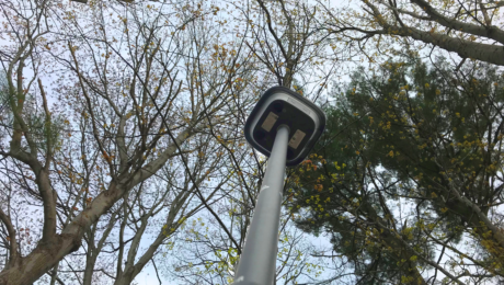
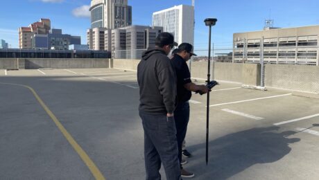
Webinar: How to Get More from Your RTK GNSS
Join Burke Asay in this on-demand session to learn the most overlooked and underused ways to improve RTK GNSS surveying speed, accuracy, and reliability in even the most difficult environments.
- Published in Improve Your Skills
5 Easy Ways to Max Out the Benefits of Your CCP
Are you leaving money on the table from an underutilized CCP? Review this checklist to maximize the value of your investment.
- Published in Grow Your Business
Understanding Customer Care Packages: Which Level Do You Need?
With CCPs tailored to meet the needs of every organization, it’s easy to find the right fit.
- Published in Grow Your Business
Who is Russell Snell? 8 Things You Should Know About the California-Based Leica Geosystems Sales Engineer
You might know Russell as a technical support rep or survey technology trainer. Here’s more of his story.
- Published in Grow Your Business
Is a CCP Worth It? Three Things to Consider Before You Buy
A customer care package can provide significant value over the life of your technology investment. Here’s how.
- Published in Grow Your Business
This Small Survey Technology Mistake Could Cost You a Bundle
Having the right technology can help you maximize productivity, but don’t overlook this important detail.
- Published in Featured Grow Your Business, Grow Your Business
REALITY CAPTURE EDUCATION SERIES:
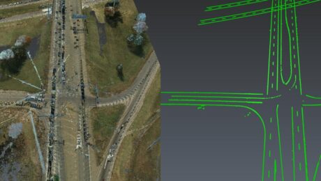
The Unexpected Way to Dominate in Topographic Data Extraction
Join Kyle Palmer in this on-demand session to learn how to create your own software tools that do exactly what you need, so you can have a fast and simple end-to-end solution that is fully within your control.
- Published in Featured Home, Featured Improve Your Skills, Improve Your Skills
