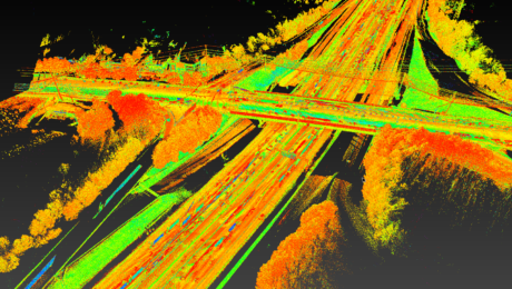
The Difference Between New Technology and Innovation in Mobile Mapping
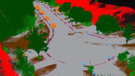
Just because a technology is new doesn’t make it innovative. Jason Ellis explains why the distinction matters.
- Published in Grow Your Business
REALITY CAPTURE EDUCATION SERIES:
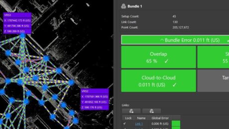
How to Master Point Cloud Registration Accuracy
Join Adam Westfall in this on-demand guided tour through a best-practices point cloud registration workflow.
- Published in Featured Home, Featured Improve Your Skills, Improve Your Skills
REALITY CAPTURE EDUCATION SERIES:
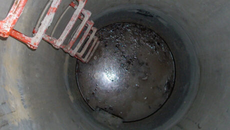
The Best Way to Achieve Fast, Accurate Reality Capture in Confined Spaces
Join Eric Cowan in this on-demand webinar to learn how to differentiate your topographic scanning services with high-value confined-space laser scanning.
- Published in Featured Home, Featured Improve Your Skills, Improve Your Skills
REALITY CAPTURE EDUCATION SERIES:
How to Cut Your Drone Survey Workflow from Hours or Days to Minutes
Join Seth Gulich in this on-demand session to see how easy it can be to go from field to finish with your drone data using Cyclone 3DR software.
- Published in Improve Your Skills
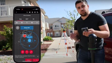
Video Review: Rami Tamimi Evaluates the New BLK360 Imaging Laser Scanner
Can you use the second-generation BLK360 as a surveying tool? Rami puts the technology to the test in this video.
- Published in Grow Your Business
REALITY CAPTURE EDUCATION SERIES:
Two Easy Ways to Achieve Grid to Ground Coordinate Transformations with Mobile Mapping
Join Kyle Palmer in this on-demand session to learn how easy it can be to localize and transform the coordinate values in your mobile mapping projects.
- Published in Featured Home, Featured Improve Your Skills, Improve Your Skills
Video Review: Leica AP20 AutoPole with MicroSurvey CAD Is ‘A Fantastic Productivity Tool’
Jacob Wall, BCLS, owner of Summit Land Surveying, shares his insights and shows an automated workflow capability you might not know exists within the software.
- Published in Grow Your Business
REALITY CAPTURE EDUCATION SERIES:
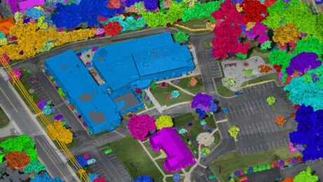
A Faster Way to Clean and Separate Point Cloud Data
Join Jason Dixon in this on-demand session to learn how to accelerate your point cloud management workflow with Cyclone 3DR.
- Published in Improve Your Skills
Video: How to Create a High-Value Cross Section Survey Report in Minutes
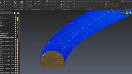
Jonathan Efaw shows how to rapidly create a high-value, actionable report of tunnel cross sections in Leica Cyclone 3DR software.
- Published in Improve Your Skills
Video: High-Efficiency Point Cloud Reclassification for Mobile Lidar
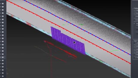
Kyle Palmer, RPLS, demonstrates the speed and simplicity of manually reclassifying mobile lidar data with the latest point cloud processing tools.
- Published in Improve Your Skills
