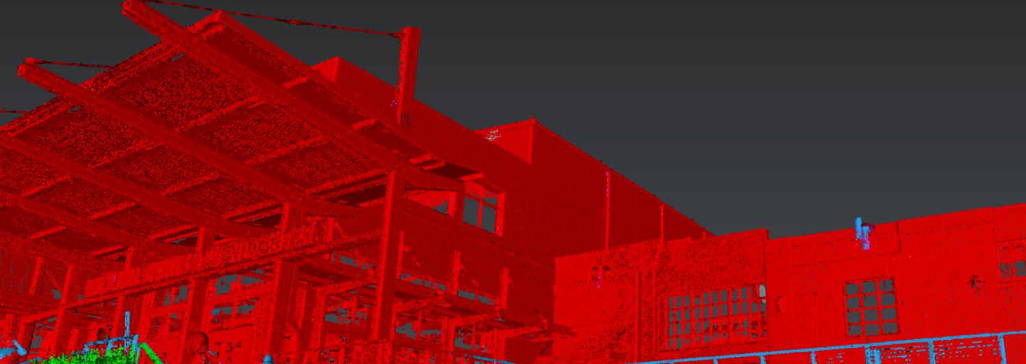
Join Jason Dixon to learn how to accelerate your point cloud management workflow with Cyclone 3DR.
Now Available On Demand
Laser scanning is the fastest way to capture accurate data for as-built and topographic surveys, and it’s getting ever faster through advances in terrestrial, aerial and mobile lidar systems. But the ability to capture more points only translates to higher productivity if you can manage the data effectively.
In this on-demand 60-minute educational session, Jason Dixon will show you how to eliminate the complexity and time constraints of point cloud management by using Cyclone 3DR software. He’ll walk through how to import point cloud data from multiple sensors and then organize, separate and clean the datasets using the power of automation and simple software tools.
You'll Learn Quick & Easy Routines For:
- How to clean by distance
- How to split ground points
- How to classify point cloud data

Jason Dixon, PLS, has more than 25 years of surveying experience and more than 15 years working with terrestrial, aerial, and mobile lidar data. From his time as an instrument operator and field technician to roles as party chief, survey project manager, and lidar project manager, Jason has always been a passionate advocate for implementing the most efficient and effective technologies and workflows. Today, as reality capture consultant for Leica Geosystems, part of Hexagon, Jason guides surveying and mapping professionals on their journey to maximize productivity and success through innovation. Follow Jason on LinkedIn.
To talk to one of our experts and learn more about how to optimize your surveying potential with technology, please contact us.


