This Small Survey Technology Mistake Could Cost You a Bundle
Having the right technology can help you maximize productivity, but don’t overlook this important detail.
- Published in Featured Grow Your Business, Grow Your Business
REALITY CAPTURE EDUCATION SERIES:
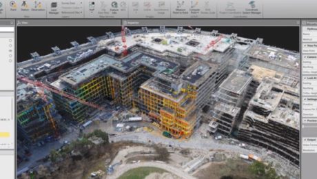
How to Cut Your Drone Survey Workflow from Hours or Days to Minutes
Join Seth Gulich in this on-demand session to see how easy it can be to go from field to finish with your drone data using Cyclone 3DR software.
- Published in Improve Your Skills
REALITY CAPTURE EDUCATION SERIES:
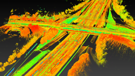
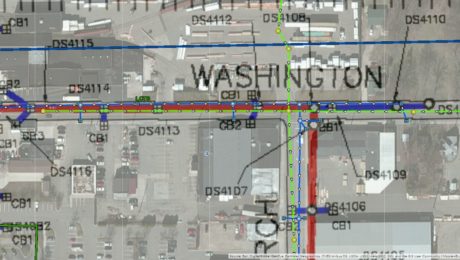
Two Easy Ways to Achieve Grid to Ground Coordinate Transformations with Mobile Mapping
Join Kyle Palmer in this on-demand session to learn how easy it can be to localize and transform the coordinate values in your mobile mapping projects.
- Published in Featured Home, Featured Improve Your Skills, Improve Your Skills
REALITY CAPTURE EDUCATION SERIES:
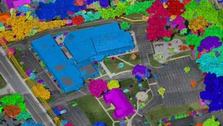
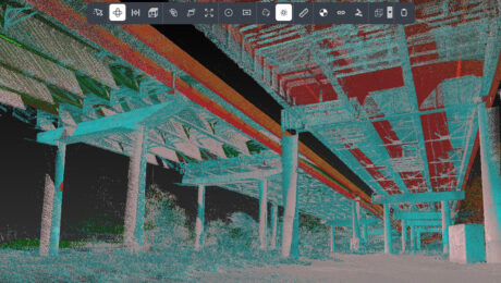
A Faster Way to Clean and Separate Point Cloud Data
Join Jason Dixon in this on-demand session to learn how to accelerate your point cloud management workflow with Cyclone 3DR.
- Published in Improve Your Skills
REALITY CAPTURE EDUCATION SERIES:
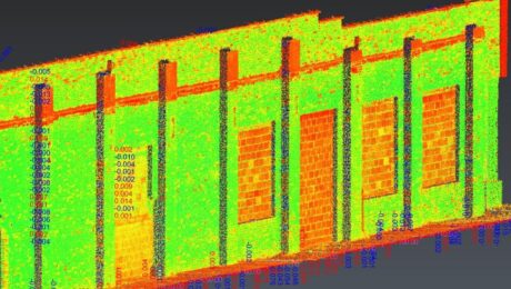
Rapid Baseline-Referenced Inspections with Leica Cyclone 3DR
Join Adam Westfall in this on-demand session to learn how to quickly create high-value reports that provide crucial insight for your clients.
- Published in Featured Home, Featured Improve Your Skills, Improve Your Skills
REALITY CAPTURE EDUCATION SERIES:
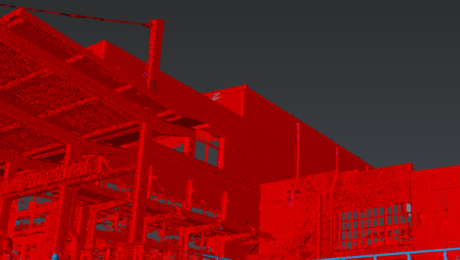
One-Button Mobile Mapping Workflows with Cyclone Pegasus Office
Join Jason Ellis in this on-demand session to learn how to harness the power of automation in the new Leica Cyclone Pegasus Office software.
- Published in Featured Home, Featured Improve Your Skills, Improve Your Skills
5 Keys to Unlock Your Surveying Potential
Now more than ever, you need innovative and reliable surveying methods. Here’s how you can unlock your potential during the pandemic and beyond.
- Published in Improve Your Skills
GIS Integration Provides Path to Real-Time Asset Intelligence
A GNSS smart antenna with an integrated GIS workflow increases efficiency, ensures accuracy and accelerates the turnaround of deliverables to clients.
- Published in Grow Your Business
Infinity Tutorial Video: How to Create a Flythrough
Learn how to share project overviews by easily turning your survey data into short videos and screencasts.
- Published in Improve Your Skills
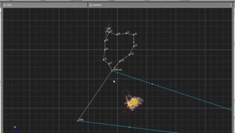
Infinity Tutorial Video: How to Process a Traverse and Update Setups
Learn how to process terrestrial data to ensure it’s in the correct local coordinate system, check the traverse results, and create a report.
- Published in Improve Your Skills
- 1
- 2

