Video Library: Cyclone 3DR Workflows
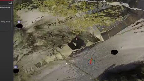
Explore how to move from scan data import through analysis and publishing intuitively and simply with Cyclone 3DR software.
- Published in Improve Your Skills
Video Library: Cyclone Model Tutorials
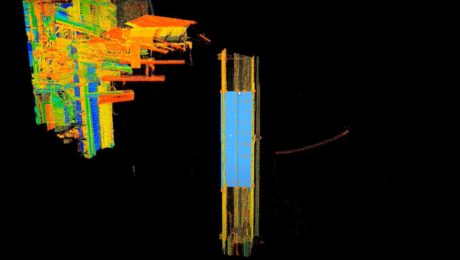
Learn from reality capture expert Matthew Brown how to advance your skills in 3D modeling using Cyclone MODEL software.
- Published in Improve Your Skills
Video Library: Basics of Cyclone REGISTER 360
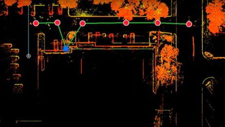
Learn from reality capture expert Brian Elbe how to optimize settings, extract targets, handle user coordinate systems (UCS) and other capabilities in REGISTER 360.
- Published in Improve Your Skills
Video Library: Basics of Cyclone
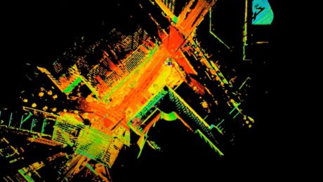
Learn from reality capture expert Brian Elbe how to register and import scan data, navigate a point cloud, and other basic point cloud processing operations.
- Published in Improve Your Skills
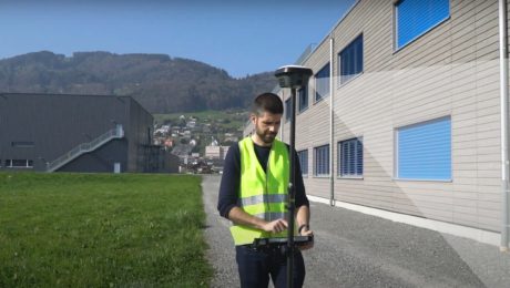
Video Library: How to Use the GS18 I GNSS RTK Rover
The world’s first GNSS smart antenna with visual positioning technology allows you to measure points remotely in images. See how to use this capability to your advantage.
- Published in Improve Your Skills
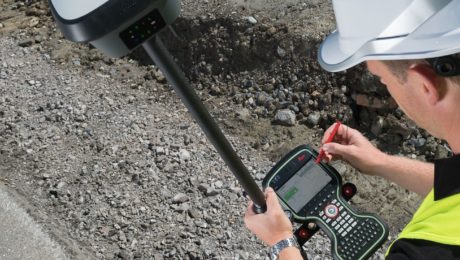
How to Close the Survey Data Transfer Gap
If you’re trying to increase efficiency on your surveying projects, take a close look at your data transfer process between the field and office.
- Published in Featured Home, Featured Improve Your Skills, Improve Your Skills
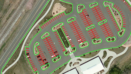
How to Save Field Time with Background Maps
The ability to display background maps in the field enhances the visualization of your project data and helps ensure you capture all the data you need.
- Published in Featured Home, Featured Improve Your Skills, Improve Your Skills
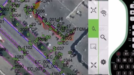
Why Your Surveying Field Software Version Matters
Upgrading your field software is an easy way to advance your capabilities and keep your crews running at maximum efficiency.
- Published in Featured Home, Featured Improve Your Skills, Improve Your Skills
Do Your GNSS Sensors Need a Firmware Update?
Keeping your surveying crews at peak performance requires the right gear and the latest firmware.
- Published in Improve Your Skills
Who Manages Your Technology Information?
Having a technology account administrator can help your firm maximize productivity and performance.
- Published in Improve Your Skills
- 1
- 2
