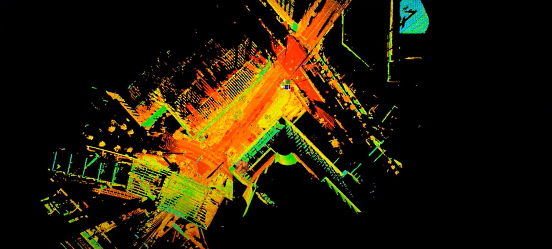
Learn from reality capture expert Brian Elbe how to register and import scan data, navigate a point cloud, extract targets and other basic point cloud processing operations.
---------
About the Author:
 Brian Elbe has more than 20 years of experience in surveying, working as an instrument operator, crew chief, project surveyor, team manager and laser scanning specialist before coming to Leica Geosystems in 2015. A reality capture innovator and thought leader, Brian has established best practices for field and office workflows and has led firms in business development, marketing, standard operating procedures and project management related to laser scanning. As a reality capture consultant for Leica Geosystems, Brian focuses on helping businesses implement mobile and terrestrial reality capture, fine-tune workflows and expedite the collection of accurate, comprehensive data to maximize success.
————
To learn more about laser scanning or schedule a one-on-one consultation to explore hardware and software solutions, please contact us.


