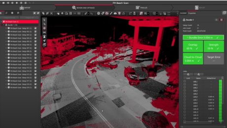
Video: Should You Create a Mesh from Your Point Cloud Data?
Mike Harvey explains the benefits of meshing and shows how to generate high-quality meshes from point clouds easily in Reality Cloud Studio.
- Published in Improve Your Skills
4 Reasons Reality Capture Professionals Prefer Leica Geosystems
As options for reality capture technology continue to grow, Leica Geosystems rightfully maintains its position as the premier brand.
- Published in Grow Your Business
What AI Can’t Replace in Reality Capture
Artificial intelligence makes reality capture more accessible, but humans are more essential than ever. This is why.
- Published in Grow Your Business
Video: What Needs to Change in the Reality Capture Industry?
Chris Kercheval of The Committee explores ideas for unleashing reality capture’s potential in this compelling Tech Insider interview.
- Published in Grow Your Business
AI and the Future of Reality Capture
A podcast interview with Michael Harvey explores how AI and automation are revolutionizing reality capture and empowering professionals with unprecedented efficiency and accuracy.
- Published in Improve Your Skills
Video: How to Unlock the Power of 3D Scanning with Cloud Tools
Mike Harvey provides an overview of Reality Cloud Studio, powered by HxDR.
- Published in Improve Your Skills
Video: How to Change the Value Proposition of Surveying & Mapping
Challenger Geomatics shares insights on the role of innovation in value perception in this informative Tech Insider interview.
- Published in Grow Your Business
Video: Where the Magic Happens in Reality Capture and What Comes Next
Senior Reality Capture Product Manager Michael Harvey delves into the most meaningful reality capture developments, the biggest challenges, and exciting new opportunities in this intriguing Tech Insider interview.
- Published in Featured Grow Your Business, Grow Your Business
Video: How Zahner Uses Reality Capture to Break Down Communication Barriers in Architectural Design and Building Construction
Nathan Barnes and Ryan Sutton share insights on how they choose their technology and business partners in this Tech Insider interview.
- Published in Featured Grow Your Business, Grow Your Business
Quick Tip Video: How to Test Point Cloud Alignment
Adam Westfall, PS, shows you why TruSlicer is the most important tool you can use to test the alignment of your point cloud on the fly.
- Published in Improve Your Skills


