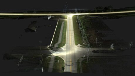
R.W. Engineering & Surveying Takes Lean Project Delivery to a New Level with AI-Powered Mobile Mapping
Innovative Leica Pegasus TRK technology enables small firm to provide big value to a wide range of clients throughout the Midwest.
- Published in Featured Grow Your Business, Featured Home
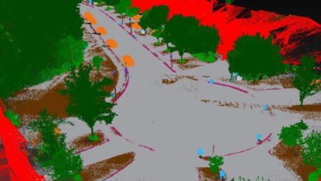
The Difference Between New Technology and Innovation in Mobile Mapping
Just because a technology is new doesn’t make it innovative. Jason Ellis explains why the distinction matters.
- Published in Grow Your Business
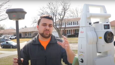
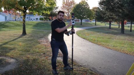
Video: Which is Better – a Total Station or GNSS Receiver?
Watch as Rami Tamimi takes a total station and GNSS receiver head to head for time, accuracy, and overall functionality.
- Published in Improve Your Skills
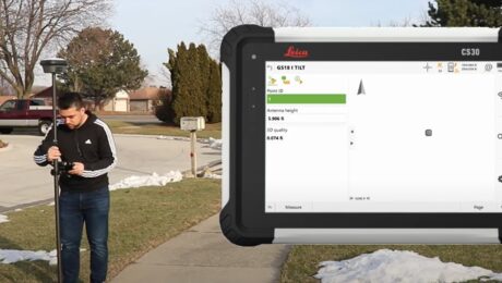
Video Review: Watch Rami Tamimi Take the GSI8 I GNSS Receiver for a Test Drive
You might not ever need to tilt your rod to the extremes shown at 5:06, but the accuracy results are compelling.
- Published in Improve Your Skills
This New GIS Technology Integration Raises the Bar on Underground Utility Protection
The ability to use Geolantis.360 with the Leica Zeno FLX100 plus optimizes utility mapping precision and reliability.
- Published in Improve Your Skills
GIS App Spotlight: Ecobot Fast-Tracks Pre-Construction Environmental Permitting
Blazing fast workflows with high accuracy and the ability to work the way you want are key benefits of pairing Ecobot with the Leica Zeno FLX100 plus smart antenna.
- Published in Improve Your Skills
How to Scale a Small Surveying Business in a Talent Crunch
Hiring more people is one way to expand your capabilities to meet demand for more surveys. But it’s not the only way.
- Published in Featured Grow Your Business, Featured Home, Grow Your Business
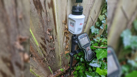
Survey Pole Review: Leica AP20 AutoPole Delivers Time Savings, Simplicity and #SurveyFun
Blazing fast, fun to use and virtually foolproof, the AutoPole is proving to be the newest essential tool in this surveyor’s toolbox.
- Published in Featured Improve Your Skills, Improve Your Skills
Video Review: Watch Rami Tamimi Take the AP20 AutoPole for a Test Drive
How much faster is the AP20 AutoPole compared to a traditional surveying prism pole? Check out the speed test in this video.
- Published in Featured Home, Featured Improve Your Skills, Improve Your Skills
Technology Review: Leica Pegasus TRK Neo Addresses the Challenges of the Future
The growing demand for high-precision 3D reality capture data can only be met by smart 3D reality capture systems like the TRK, says Gavin Schrock in this Geospatial World Prime story.
- Published in Grow Your Business
