R.W. Engineering & Surveying Takes Lean Project Delivery to a New Level with AI-Powered Mobile Mapping
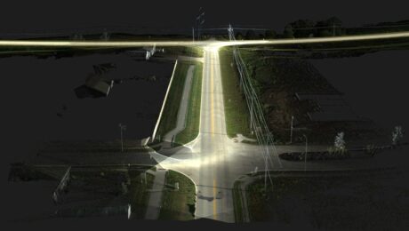
Innovative Leica Pegasus TRK technology enables small firm to provide big value to a wide range of clients throughout the Midwest.
- Published in Featured Grow Your Business, Featured Home
REALITY CAPTURE EDUCATION SERIES:
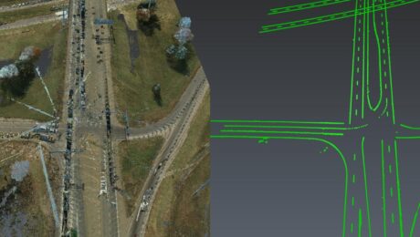
The Unexpected Way to Dominate in Topographic Data Extraction
Join Kyle Palmer in this on-demand session to learn how to create your own software tools that do exactly what you need, so you can have a fast and simple end-to-end solution that is fully within your control.
- Published in Featured Home, Featured Improve Your Skills, Improve Your Skills
REALITY CAPTURE EDUCATION SERIES:
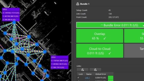
How to Master Point Cloud Registration Accuracy
Join Adam Westfall in this on-demand guided tour through a best-practices point cloud registration workflow.
- Published in Featured Home, Featured Improve Your Skills, Improve Your Skills
REALITY CAPTURE EDUCATION SERIES:
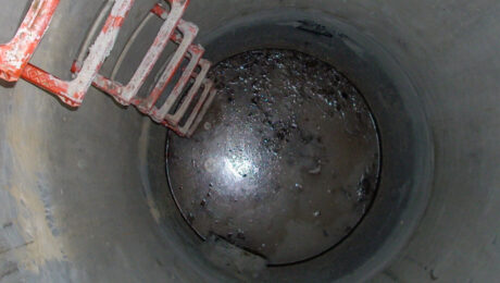
The Best Way to Achieve Fast, Accurate Reality Capture in Confined Spaces
Join Eric Cowan in this on-demand webinar to learn how to differentiate your topographic scanning services with high-value confined-space laser scanning.
- Published in Featured Home, Featured Improve Your Skills, Improve Your Skills
HDS University Returns in 2023 with Even More Surveying Educational Value
With classes on laser scanning, GNSS, survey workflows, data management, and deliverable creation, HDS University 2023 should be on every surveyor’s agenda.
- Published in Featured Home, Featured Improve Your Skills, Improve Your Skills
REALITY CAPTURE EDUCATION SERIES:
Two Easy Ways to Achieve Grid to Ground Coordinate Transformations with Mobile Mapping
Join Kyle Palmer in this on-demand session to learn how easy it can be to localize and transform the coordinate values in your mobile mapping projects.
- Published in Featured Home, Featured Improve Your Skills, Improve Your Skills
REALITY CAPTURE EDUCATION SERIES:
Rapid Baseline-Referenced Inspections with Leica Cyclone 3DR
Join Adam Westfall in this on-demand session to learn how to quickly create high-value reports that provide crucial insight for your clients.
- Published in Featured Home, Featured Improve Your Skills, Improve Your Skills
REALITY CAPTURE EDUCATION SERIES:
One-Button Mobile Mapping Workflows with Cyclone Pegasus Office
Join Jason Ellis in this on-demand session to learn how to harness the power of automation in the new Leica Cyclone Pegasus Office software.
- Published in Featured Home, Featured Improve Your Skills, Improve Your Skills
A Scanner for Every Purpose: Geo Week USIBD Scanner Shootout Highlights Leading-Edge Point Cloud Data Capture Capabilities
Whether you need a small form factor, survey-grade scanning, or maximum versatility, these three laser scanners provide proven reality capture performance.
- Published in Featured Home, Featured Improve Your Skills, Improve Your Skills
How to Scale a Small Surveying Business in a Talent Crunch
Hiring more people is one way to expand your capabilities to meet demand for more surveys. But it’s not the only way.
- Published in Featured Grow Your Business, Featured Home, Grow Your Business
