Join Kyle Palmer to learn how easy it can be to localize and transform the coordinate values in your mobile mapping project.
AVAILABLE ON DEMAND
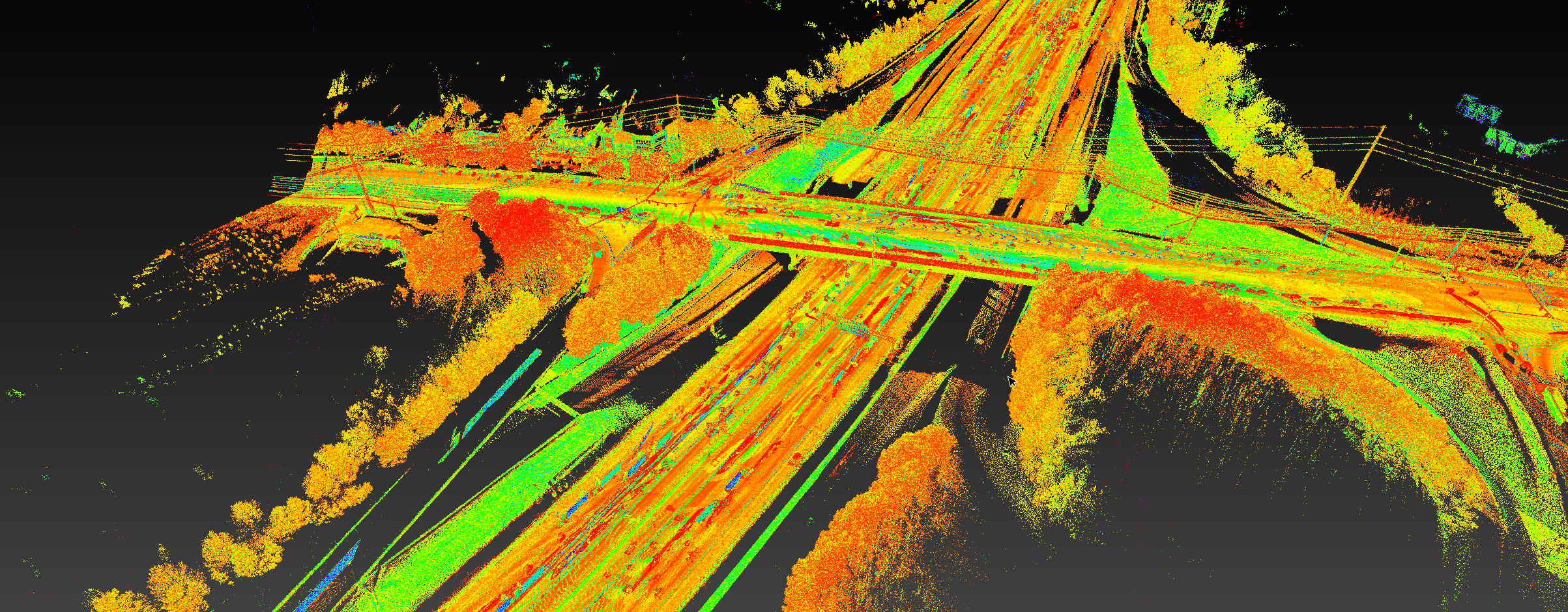
Like most GNSS based projects, mobile mapping data defaults to the grid plane for the given projection model. If your project requires data scaled to surface values, you need to calculate and apply a combined scale factor. What’s the easiest way to do this?
Leica Cyclone Pegasus Office software makes the transformation simple. From the beginning of the project, built-in workflows help you ensure your data is correctly adjusted to the final design coordinate system so you can quickly and seamlessly collect your data and create your deliverables.
In this engaging session, Mobile Mapping Specialist Kyle Palmer walks you through two fast and easy ways to create the transformation and QC the solution.
You'll Learn:
- How to load a coordinate system
- How to create a transformation and custom coordinate system for scaling data to surface coordinate values
- How the Pegasus Office transformation workflow compares to other mobile mapping solutions—and why it matters to your business
Whether you’re using a legacy Pegasus mobile mapping system or the new Pegasus TRK, or you’re thinking about expanding your capabilities with mobile mapping in the near future, you’ll want to see how easy it can be to localize and transform your coordinate values. Watch the webinar now on demand.

Kyle Palmer, RPLS, began his career as an instrument operator and survey crew chief before finding his calling in reality capture. After 15 years of working with lidar data, Kyle is relieved to finally have access to technology that streamlines the entire workflow, and he’s thrilled to be able to share his expertise with other surveying and mapping professionals. As mobile mapping consultant for Leica Geosystems, Kyle assists private firms and public agencies of all sizes in their mobile mapping journey. Follow Kyle on LinkedIn.
To talk to one of our experts and learn more about how to optimize your surveying potential with technology, please contact us.


