You’ve been watching technology for months, waiting for the right advance and the right time to add new capabilities to your business. You’ve done all the research, requested demos, and put the technology to the test. You feel confident you’re making the right decision. But before you purchase your next GNSS receiver, total station, digital level or laser scanner, there’s one more question you need to consider that can be critical to the success of your business: How will you maximize your technology investment?
“Today’s surveying and engineering technology is easy to use and very intuitive. It’s like using a smartphone,” says Tim Kerr, senior geomatics support engineer in the U.S. and Canada for Leica Geosystems, part of Hexagon. “However, it is so powerful that you really do need to spend time understanding all the capabilities; otherwise you’re only hitting the tip of the iceberg regarding what that technology is capable of.”
Common Technology Hurdles
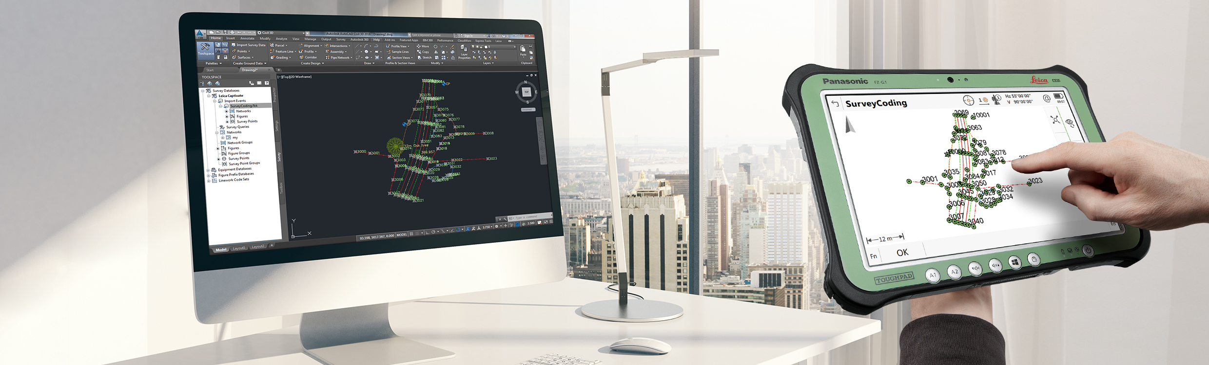
As an example of this short-sighted approach, Tim explains it’s not uncommon for surveying firms to run so lean that field crews focus exclusively on capturing coordinates and pumping them out of the instrument to keep projects on schedule. But what happens if the survey results get called into question and you don’t have any backup data? Understanding how the technology can streamline field-to-office workflows and can be used with office software like Leica Infinity that automatically generates reports and stores raw data can be crucial to limiting your firm’s liability.
“If you’re looking to gain a competitive edge, buy the hardware and software that’s going to make you more successful. But don’t assume that just because you have these new tools, you’re immediately going to be successful with them. You need to put some additional thought and strategy into it.”
– Tim KerrLikewise, investing in a versatile multistation solution like the Leica Nova MS60 provides fast, high-accuracy total station and GNSS surveying. But if you really want to understand the power of 3D and point clouds, you need to learn how to apply the scanning capabilities and how to use the software to create compelling deliverables for your clients.
“A lot of times people are unaware of what modern systems are capable of doing,” Tim says. “Even something as simple as digital leveling can make some surveyors feel lost. You’re still taking a backsight and foresight reading and determining a difference in height, the same way it’s been done for years, but now you’re letting the software automatically capture the data and then you’re transferring it digitally. Understanding how to maximize field-to-office workflows can help you shorten the learning curve and make you more productive.”
Solving the Training Problem

Since training is obviously valuable, why don’t more surveyors take advantage of it?
One possible reason is the belief that training should be included with the technology purchase. But this line of thinking is flawed, Kerr says. “When you buy a new car, it doesn’t come with driver’s ed,” he points out.
Although you can get a general overview and basic information from your technology dealer or sales rep, in-depth training that allows you to hone your expertise in the technology should be a separate, and completely optional, venture.
Some firms prefer to learn as they go, letting an internal technology champion take the lead. However, this approach also carries risks. If the internal champion learns incorrectly or doesn’t understand all the nuances and capabilities of the technology, how can it be applied successfully across the company?
“The fastest and easiest way to hit the ground running with new technology and maximize its value is to spend a little bit of time and a little bit of investment in the training,” says Tim.
In the past, getting comprehensive training required traveling to a training facility or event, or arranging for a trainer to spend time onsite with your crews. Although these options still exist and provide significant benefit, there is an increasing need for virtual training to help crews get up and running with new gear quickly. Specialized teams like the Leica Geosystems Surveying & Engineering support group are filling this void.
Subject matter experts provide in-depth online training on topics such as how to handle total station and GNSS data in Leica Infinity software, how to use the Captivate-to-Infinity-to-CAD workflow to its full potential, how to convert design alignment files for road stakeout, and how to maximize the field-to-office workflow with scanning total stations and digital leveling. Classes are held monthly in a virtual setting, and class sizes are limited to ensure personal attention. Each two- to three-hour course can be requested on-demand and includes time for questions and answers, as well as handouts and additional training materials.
“The surveying and engineering systems are getting easier to use, but at the same time, because of all the advances in technology, there’s so much more that you can do with them to really maximize your investment,” Tim says. “If you’re looking to gain a competitive edge, buy the hardware and software that’s going to make you more successful. But don’t assume that just because you have these new tools, you’re immediately going to be successful with them. You need to put some additional thought and strategy into it. You really owe it to yourself and your organization to invest in the training that will take you to the next level.”
Contact us to request our Surveying & Engineering Virtual Classroom course list or to explore surveying solutions that can help you maximize efficiency, productivity and quality.