Webinar: RTK GNSS Technology Selection and Field Productivity Tips
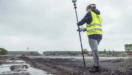
Join Burke Asay in this on-demand session to get his insights on how to evaluate all the recent capabilities of GNSS technology and what the new Leica GS05 brings to the surveying profession, as well as tips to maximize productivity and quality.
- Published in Featured Home, Featured Improve Your Skills, Improve Your Skills
REALITY CAPTURE EDUCATION SERIES:
Ask the Experts – Q&A Recording
Did anyone stump the Leica Geosystems reality capture trainers in the live, interactive Q&A session? Watch the on-demand recording and take away new skills that will help your productivity soar.
- Published in Featured Home, Featured Improve Your Skills, Improve Your Skills
Video: Rami Tamimi’s First Look at the New Leica GKP100 Keypad and CC180 Tablet
Rami Tamimi was one of the first to check out the new Captivate survey field controller options. What does he think?
- Published in Featured Grow Your Business, Grow Your Business
Video: Burke Asay Reviews the New Leica Captivate Controllers
The Leica Geosystems product manager shares what he thinks about the new lightweight, detachable GKP100 keypad and new CC180 tablet in this Tech Insider interview.
- Published in Featured Grow Your Business, Grow Your Business
REALITY CAPTURE EDUCATION SERIES:
Time-Saving Tips & Tricks for Laser Scanning Data Collection
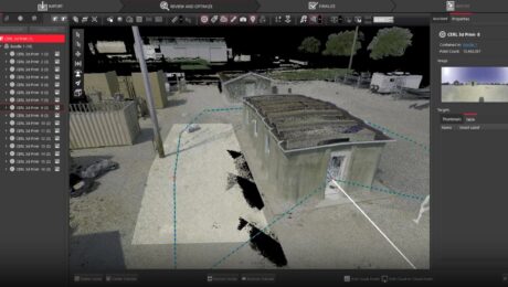
Join Adam Westfall in this on-demand session to learn how to improve and accelerate your reality capture workflows in Cyclone FIELD 360 3D laser scanning data collection software.
- Published in Featured Home, Featured Improve Your Skills, Improve Your Skills
Video: How to Deliver Stockpile Measurements in Minutes with RTK GNSS
Burke Asay shows how to complete your survey in 60 seconds and make the data instantly accessible in the office, with just a few extra minutes for processing and reporting. Is your workflow that fast?
- Published in Improve Your Skills
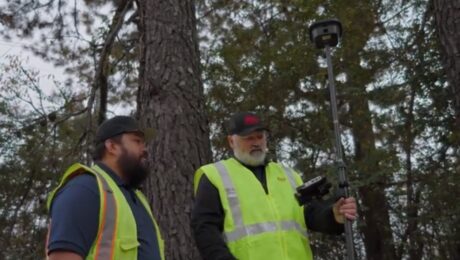
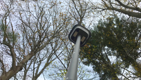
Video: How to Maximize Your RTK GNSS Performance Under Canopy
Are you keeping your RTK GNSS firmware/software up to date? Burke Asay of Leica Geosystems shows how this small step can have a big impact on productivity.
- Published in Improve Your Skills
Webinar: How to Get More from Your RTK GNSS
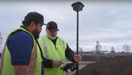
Join Burke Asay in this on-demand session to learn the most overlooked and underused ways to improve RTK GNSS surveying speed, accuracy, and reliability in even the most difficult environments.
- Published in Improve Your Skills
This Small Survey Technology Mistake Could Cost You a Bundle
Having the right technology can help you maximize productivity, but don’t overlook this important detail.
- Published in Featured Grow Your Business, Grow Your Business


