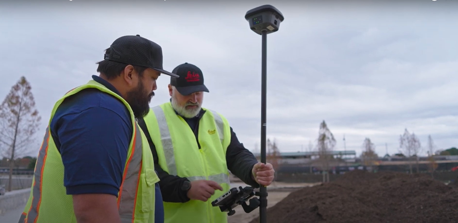
Burke Asay shows how to complete your survey in 60 seconds and make the data instantly accessible in the office, with just a few extra minutes for processing and reporting. Is your workflow that fast?
“It’s about being more efficient and collaborating with people in the office and in the field, or anybody around the country.”
—Burke Asay, Leica Geosystems Product Manager, US/CAN
Whether you’re flying a drone or measuring with a GNSS receiver, you still have to transfer your stockpile survey data to the office and create detailed reports before you can hand off your deliverables.
In this video, Burke Asay of Leica Geosystems shows you a workflow that lets you complete the entire field-to-finish process in minutes using the latest RTK GNSS hardware, office software, and cloud-based data management.
RELATED: Watch this webinar to learn how to get more from your RTK GNSS >
To talk to one of our experts and explore which reality capture solutions would work best for your needs, please contact us.


