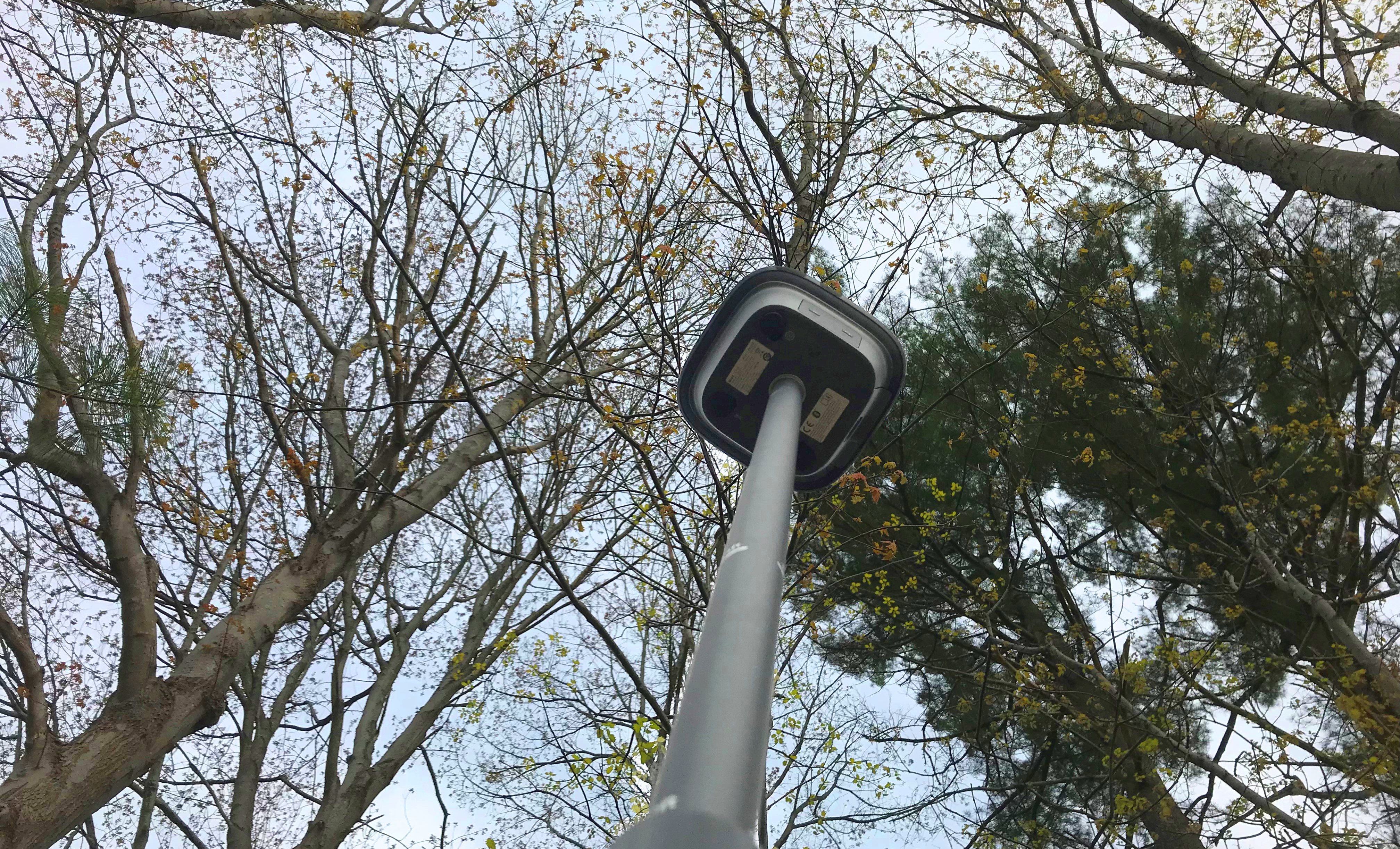
Join Burke Asay in this on-demand session to learn the most overlooked and underused ways to improve RTK GNSS surveying speed, accuracy, and reliability in even the most difficult environments.
AVAILABLE ON DEMAND
The GNSS rover is one of the most valuable tools in a surveyor’s toolbox for its ability to quickly cover large areas while providing accurate real-time positioning. But maximizing accuracy and productivity with GNSS has always required meeting certain jobsite conditions. Even with technology advances, the promise of getting a fast and reliable fix under tree canopy and in urban canyons often seems to fall short, leaving crews frustrated and running behind schedule.
The solution could be simpler than you think.
With a background as a surveying technologist, application specialist, and technical support specialist, Burke Asay has worked with numerous surveying and engineering teams to maximize their GNSS productivity. In this 60-minute session, he’ll share practical guidance that will help you instantly improve the performance of your current RTK GNSS technology and re-evaluate your strategy for the future.
You'll Learn:
- How to evaluate technology in an era of continued GNSS modernization
- How to future-proof your current RTK GNSS equipment
- How to achieve better RTK results more often and in more challenging environments than ever before
Regardless of which brand or model you use for RTK GNSS, this webinar will challenge your assumptions of technology limitations and show you how to push the boundaries of RTK performance.

Burke Asay has more than 20 years of experience working with surveying technology. He began his career as a surveying technologist for Nantucket Surveyors in Massachusetts, where he developed his appreciation for fast, dependable and accurate hardware and software. From there he applied his field knowledge to developing System 1200 applications with the Leica North America Software Development Team in Montreal before moving into a role supporting surveyors and engineers in the US and Canada as an application and technical support specialist, focused on Leica Geosystems solutions. Today, as product manager for Leica Geosystems in the U.S. and Canada, Burke listens to the ideas, needs and challenges of professionals to help drive developments that will increase surveying efficiency and productivity. Burke has a diploma in Geomatics from the British Columbia Institute of Technology.
To talk to one of our experts and learn more about how to optimize your surveying potential with technology, please contact us.


