REALITY CAPTURE EDUCATION SERIES:
Tips & Tricks to Level Up Your P-Series Scan Data
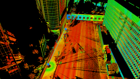
Join Seth Gulich on May 23 to learn how to use REGISTER 360 PLUS to maximize your P-Series point clouds and save time on multi-sensor workflows.
- Published in Improve Your Skills
Video: How to Deliver Stockpile Measurements in Minutes with RTK GNSS
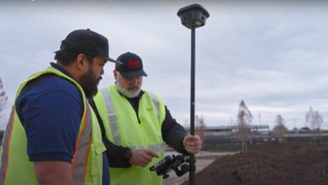
Burke Asay shows how to complete your survey in 60 seconds and make the data instantly accessible in the office, with just a few extra minutes for processing and reporting. Is your workflow that fast?
- Published in Improve Your Skills
Quick Tip Video: How to Test Point Cloud Alignment
Adam Westfall, PS, shows you why TruSlicer is the most important tool you can use to test the alignment of your point cloud on the fly.
- Published in Improve Your Skills
Quick Tip Video: When to Lock Your Links During Point Cloud Registration
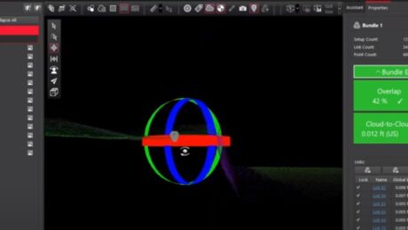
Adam Westfall, PS, shows you why locking before or after applying control depends on how the control was generated.
- Published in Improve Your Skills
Quick Tip Video: How to Optimize Scan Spacing and Overlap
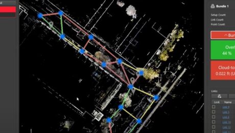
Adam Westfall, PS, shows you why scan spacing and overlap are critical elements when doing cloud-to-cloud registration.
- Published in Improve Your Skills
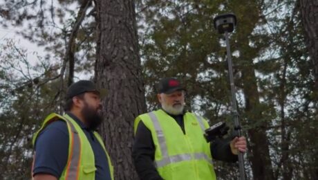
Video: How to Maximize Your RTK GNSS Performance Under Canopy
Are you keeping your RTK GNSS firmware/software up to date? Burke Asay of Leica Geosystems shows how this small step can have a big impact on productivity.
- Published in Improve Your Skills
REALITY CAPTURE EDUCATION SERIES:
Time-Saving Tools for Ground Surface Modeling
Join Jason Dixon on April 25 to explore tools in Cyclone 3DR software that can simplify and automate your ground surface modeling workflow.
- Published in Improve Your Skills
Video: Draw by Alignment Script in Cyclone 3DR
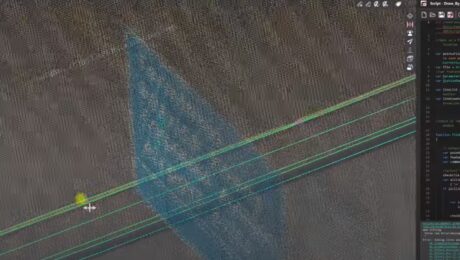
Watch as Kyle Palmer shows his Draw by Alignment script in action.
- Published in Improve Your Skills
Webinar: How to Get More from Your RTK GNSS
Join Burke Asay in this on-demand session to learn the most overlooked and underused ways to improve RTK GNSS surveying speed, accuracy, and reliability in even the most difficult environments.
- Published in Improve Your Skills
REALITY CAPTURE EDUCATION SERIES:
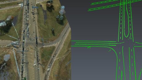
The Unexpected Way to Dominate in Topographic Data Extraction
Join Kyle Palmer in this on-demand session to learn how to create your own software tools that do exactly what you need, so you can have a fast and simple end-to-end solution that is fully within your control.
- Published in Featured Home, Featured Improve Your Skills, Improve Your Skills
