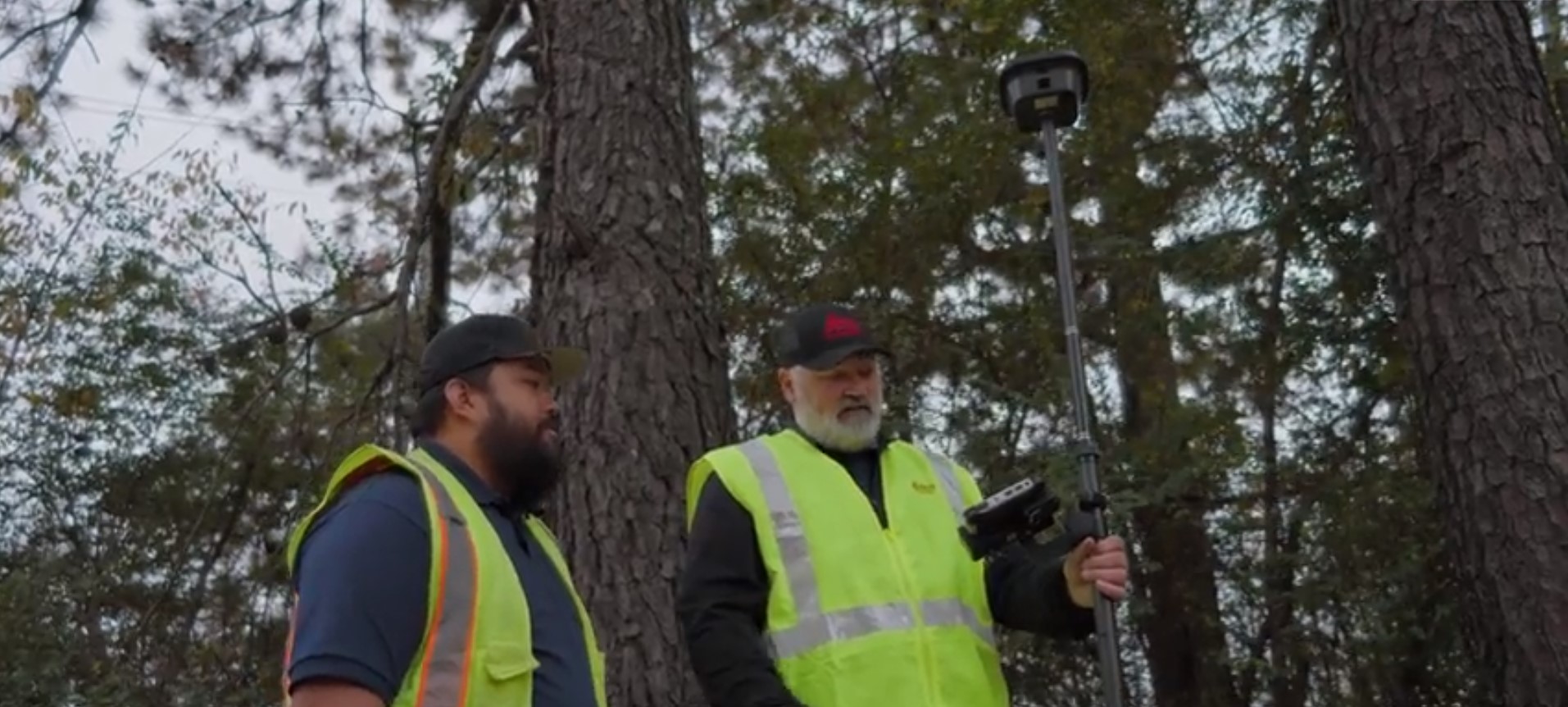
Are you keeping your RTK GNSS firmware/software up to date? Burke Asay of Leica Geosystems shows how this small step can have a big impact on productivity.
“Professionals really want to push the boundary of their GNSS, and so we’re adding these improvements with the software. It’s about sustainability, productivity, and reliability.”
—Burke Asay, Leica Geosystems Product Manager, US/CAN
When your land survey projects take you into the woods or in an urban canyon environment, you need to know you can count on your GNSS receiver to provide accurate, reliable results in the harshest conditions. You know some of the latest technologies are designed to optimize performance – but did you realize you can get some of the same performance advantages even on an older-model rover?
Burke Asay of Leica Geosystems shows how improvements in multipath reduction, interference mitigation, and signal tracking available through firmware/software updates can keep you efficient and productive.
RELATED: Watch this webinar to learn how to get more from your RTK GNSS >
To talk to one of our experts and explore which reality capture solutions would work best for your needs, please contact us.


