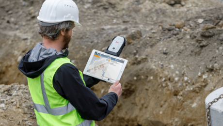
This New GIS Technology Integration Raises the Bar on Underground Utility Protection
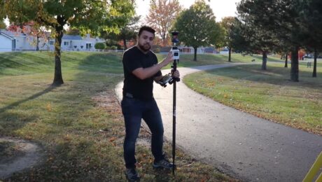
The ability to use Geolantis.360 with the Leica Zeno FLX100 plus optimizes utility mapping precision and reliability.
- Published in Improve Your Skills
Video: A High-Speed Workflow for RTK GNSS to CAD Deliverables
Leica Geosystems’ Andrew Gillis and MicroSurvey’s Kailey Graves show how to seamlessly integrate a top-line rover with MicroSurvey CAD.
- Published in Improve Your Skills
Video: The Power of Mobile Mapping with Onboard SLAM Technology
Jason Ellis shows how onboard Simultaneous Localization and Mapping (SLAM) technology affects the efficiency of mobile mapping data collection.
- Published in Improve Your Skills
GIS App Spotlight: Ecobot Fast-Tracks Pre-Construction Environmental Permitting
Blazing fast workflows with high accuracy and the ability to work the way you want are key benefits of pairing Ecobot with the Leica Zeno FLX100 plus smart antenna.
- Published in Improve Your Skills
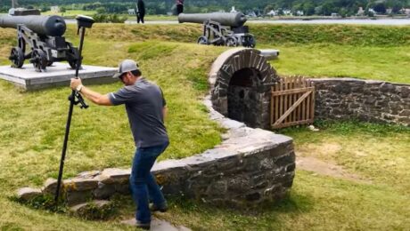
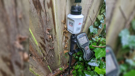
Survey Pole Review: Leica AP20 AutoPole Delivers Time Savings, Simplicity and #SurveyFun
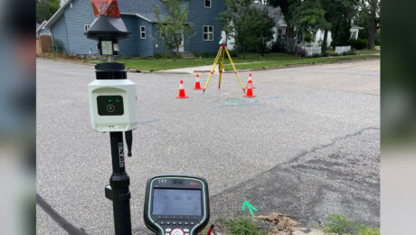
Blazing fast, fun to use and virtually foolproof, the AutoPole is proving to be the newest essential tool in this surveyor’s toolbox.
- Published in Featured Improve Your Skills, Improve Your Skills
Video Review: Watch Rami Tamimi Take the AP20 AutoPole for a Test Drive
How much faster is the AP20 AutoPole compared to a traditional surveying prism pole? Check out the speed test in this video.
- Published in Featured Home, Featured Improve Your Skills, Improve Your Skills
Review: The Three Advantages of the Leica AP20 AutoPole That Impress Me the Most
Improved speed and accuracy are a given, but these other benefits spark a new level of excitement about the future of surveying.
- Published in Improve Your Skills
Video: The Mobile Mapping Office Workflow That Gets Data Out Quickly
Kyle Palmer, RPLS, shows the key to making mobile mapping data management and deliverable creation as fast and easy as the field data collection.
- Published in Improve Your Skills
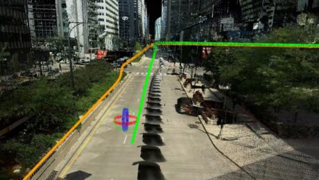
Video: Mobile Mapping a Roadway with Zero Post-Processing
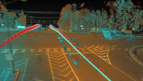
Explore a cross section of Leica Pegasus TRK mobile mapping data with RTK corrections applied during the collection to achieve tight overlapping scans with no post-processing required.
- Published in Improve Your Skills
Video: An Easy Way to Capture Detailed Storm and Sanitary Data in a Two-Minute Site Survey
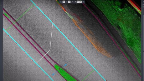
An imaging laser scanner with a highly automated workflow and intuitive apps enables survey work to be done in a fraction of the time compared to traditional approaches.
- Published in Improve Your Skills
