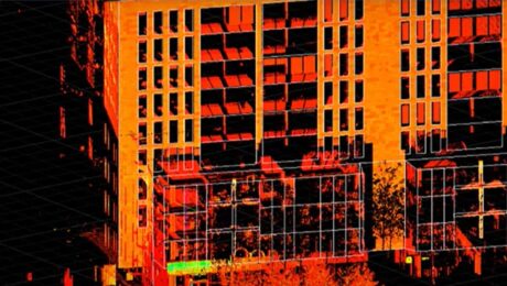
Video: Easy Scanning, Import, and Editing with a Scanning Total Station and Surveyor-Focused CAD Software
Leica Geosystems’ Andrew Gillis and MicroSurvey’s Kailey Graves show how to streamline an as-built survey workflow by pairing the MS60 MultiStation with MicroSurvey CAD software.
- Published in Improve Your Skills
Video: A High-Speed Workflow for RTK GNSS to CAD Deliverables
Leica Geosystems’ Andrew Gillis and MicroSurvey’s Kailey Graves show how to seamlessly integrate a top-line rover with MicroSurvey CAD.
- Published in Improve Your Skills
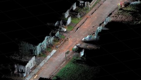
Video: How GNSS with Visual Positioning Streamlines Road Construction Surveys
Andrew Gillis of Leica Geosystems shows a fast, easy way to collect survey data for a road construction project using the GS18 I GNSS smart antenna.
- Published in Improve Your Skills
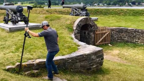
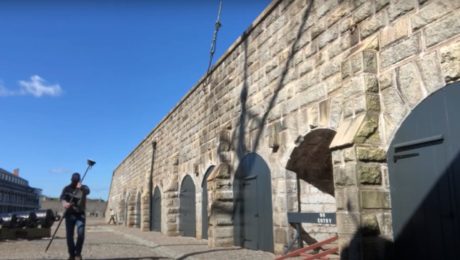
Video: Surveying Citadel Hill in Halifax with the GS18I GNSS RTK Rover
Andrew Gillis of Leica Geosystems shows how to capture what you see, even under canopy, as well as how to measure from images and do linework in the field.
- Published in Improve Your Skills
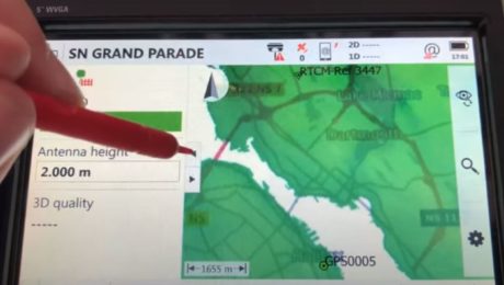
Video: A Fast and Easy Way to Achieve Centimeter-Level Accuracies in Your Field Surveys
What’s the fastest way to get started on your GNSS surveys while meeting centimeter level accuracies tied to a common local datum? Andrew Gillis shows a simple approach.
- Published in Improve Your Skills
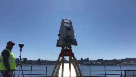
Video: How Technology Affects Speed in a Topographic Survey
A test of the MS60 MultiStation with the GS18T RTK rover and Smartpole shows how quickly you can perform a site topo if you have the right technology.
- Published in Grow Your Business
