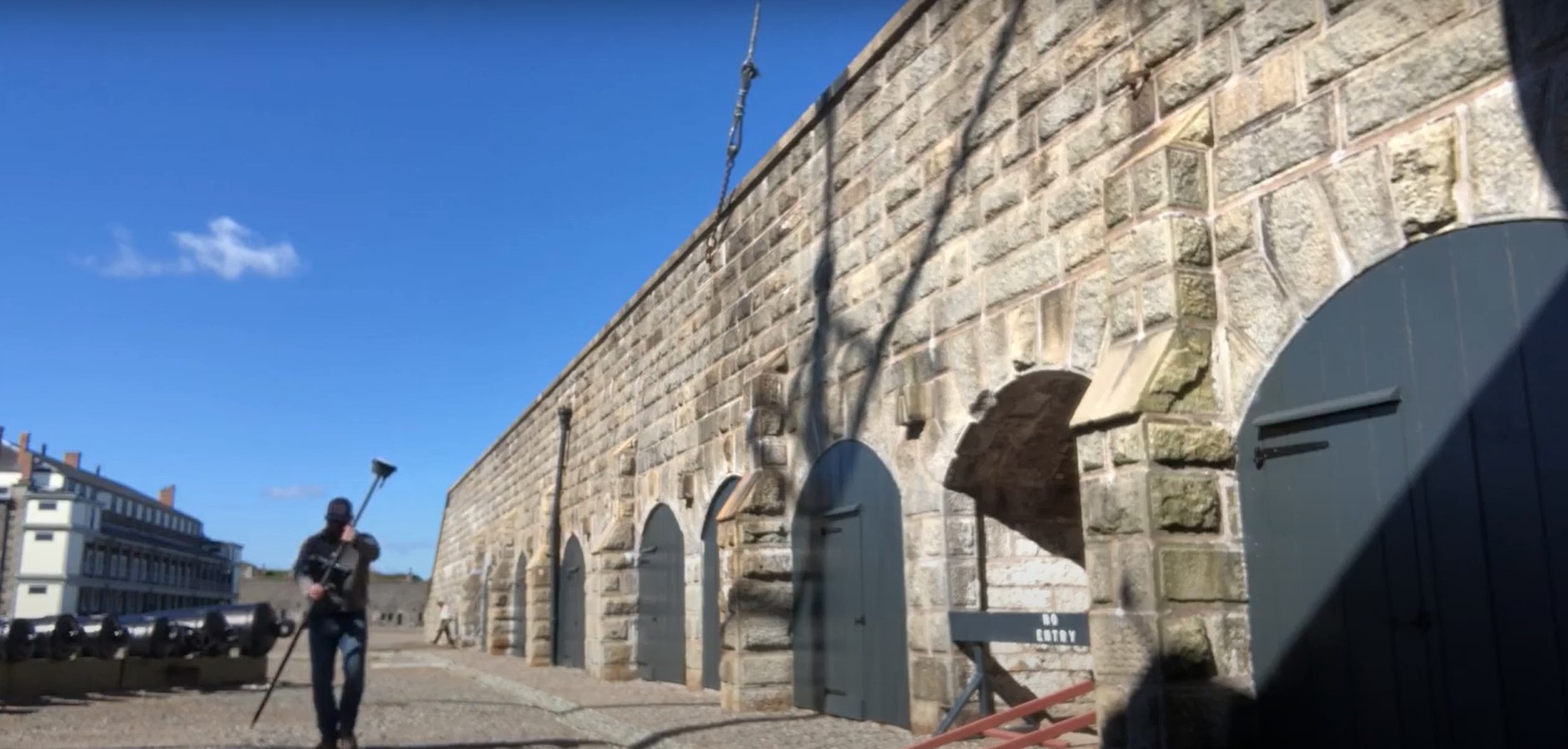
Citadel Hill is a National Historic Site in Halifax, Nova Scotia, Canada. The citadel itself, designed like a concrete star, is the fortified summit of the hill. Although it has never been attacked, it has long been the cornerstone to the defense of the strategically important Halifax Harbour and its Royal Navy Dockyard.
Wanting to test the visual positioning capabilities of the latest GNSS innovation, Andrew Gillis of Leica Geosystems headed over to Citadel Hill with GS18I GNSS RTK rover and his CS35 field tablet. He demonstrates how to capture what you see—even if the object you are trying to measure is blocked by overhead canopy or cannot physically be reached—and how to measure from images and do linework in Leica Captivate field software.
Watch the video to see how the survey unfolds.
>> Explore the interactive demo of the GS18 I GNSS rover
>> Watch the Pro Tip videos to see more applications of visual positioning


