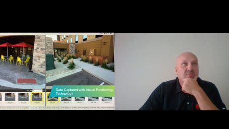
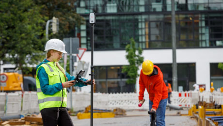
Video: An Easy Way to Capture Detailed Storm and Sanitary Data in a Two-Minute Site Survey
An imaging laser scanner with a highly automated workflow and intuitive apps enables survey work to be done in a fraction of the time compared to traditional approaches.
- Published in Improve Your Skills
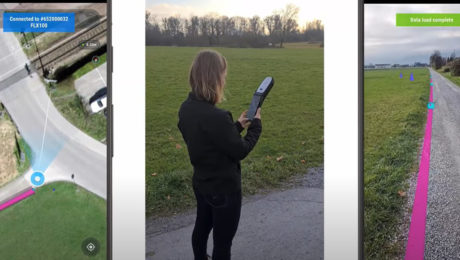
Video: The Easiest Way to Capture and Visualize Utility Infrastructure with High Accuracy
Combining high-accuracy GIS data collection with seamless field workflows and the vGIS augmented reality visualization platform delivers next-level intelligence on utility infrastructure.
- Published in Improve Your Skills
Survey Digitalization and the Power of Visualization
Want to improve project communication within your organization and with your clients? Point clouds and flythrough videos speak volumes.
- Published in Featured Grow Your Business, Featured Home, Grow Your Business
How Precision Underground Utilities Is Making Real-Time, High-Accuracy Underground Utility Maps a Reality
An underground utility contractor delivers high value GIS with smart antennas and intuitive mobile data capture software.
- Published in Grow Your Business
On-Demand Webinar – Surveying Reimagined: How Ingenuity and Innovation Create New Opportunities
Learn how McLaren Engineering Group’s transformative approach to surveying leads to business growth, client satisfaction, employee happiness and outstanding results.
- Published in Featured Grow Your Business, Featured Home, Grow Your Business
How Mobile Apps Simplify GIS Field Data Capture
The latest mobile apps keep field data collection simple while giving you a host of professional data capture functions to increase your productivity.
- Published in Improve Your Skills
Video: FIG Young Surveyors’ Conference Presentation Highlights Surveying Sustainability
Jason Houle of Leica Geosystems presents an engaging look at how to harness technology for an agile, sustainable future.
- Published in Grow Your Business
Smart Antennas Enable High-Accuracy GIS Data Collection
Compact, affordable, easy to use and highly flexible, the latest smart antennas provide centimeter-level accuracy for intelligent asset mapping.
- Published in Improve Your Skills
