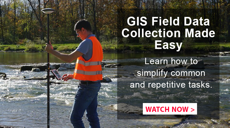
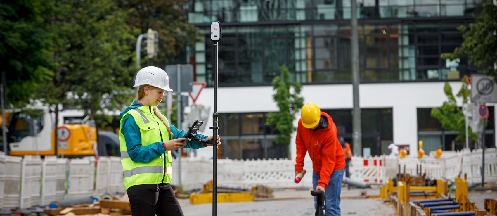
Today’s GIS projects require high accuracy and a fast turnaround. New apps in combination with a Bring Your Own Device (BYOD) approach make it easy to achieve these goals.
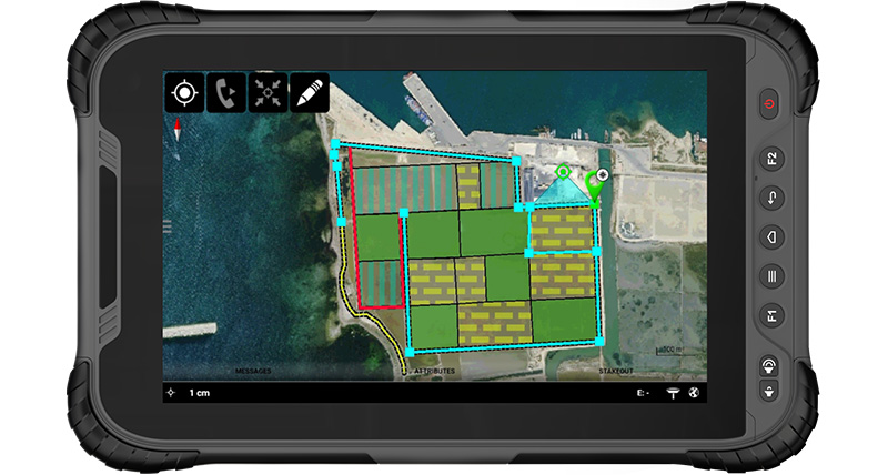
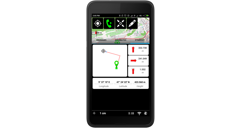
One of the best examples of this technology is Leica Zeno Mobile, an app that runs on select phones and tablets with Android v5.0 or higher.
Time Savings
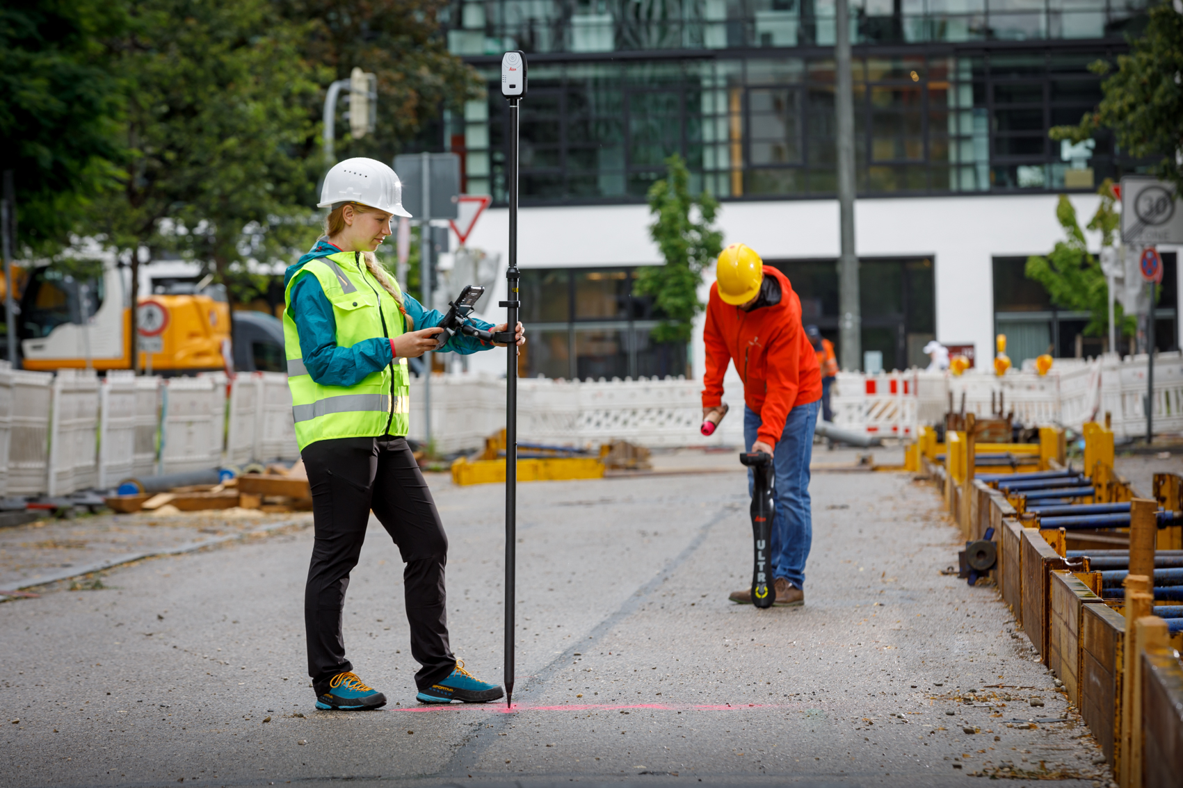
Zeno Mobile saves you time in the field by enabling you to capture more data more quickly. You can set up data collection projects on the fly without other software. If you need to capture multiple features at the same time, you can use the multi-collect function. You can also connect to external devices such as cable locators to increase your productivity.
Want to give the app a try? Get a free Zeno Mobile trial license.
Easy to Use
Interacting with Zeno Mobile is simple and intuitive, providing advanced functionality without the need for extensive training. Different versions of Zeno Mobile are available depending on your needs. The app supports a wide range of GIS and CAD data formats that can be easily imported or exported.
Smart Connectivity
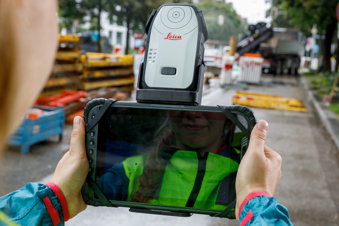
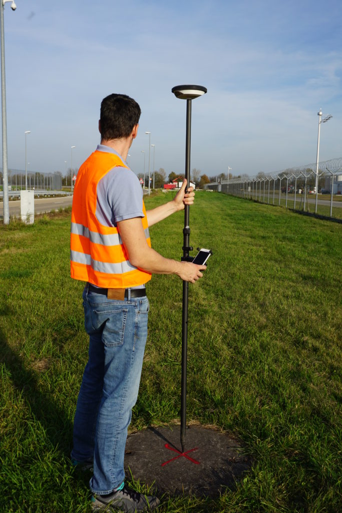
By using Bluetooth on your Android device, the Leica GG04 plus smart antenna can obtain high accuracy GNSS positions. When using HxGN SmartNet technology in combination with the GG04 plus you can achieve accuracies of down to 1 centimeter. With the power of smart antenna technology, you can capture high accuracy data anywhere without limits.
To talk to one of our experts and learn more about how to optimize your mapping potential with technology, please contact us.

