Accuracy is increasingly important in documenting and mapping underground infrastructure for power, water/wastewater, oil & gas, and telecommunications. But for accurate GIS to be ubiquitous, accurate data collection has to be easy and affordable.
The latest smart antennas meet both objectives. From compact, handheld units that are easy for anyone to use, to professional-grade receivers with bring-your-own-device simplicity, modern GIS data collection technology makes centimeter-level accuracy accessible to everyone.

Build Your Own Handheld
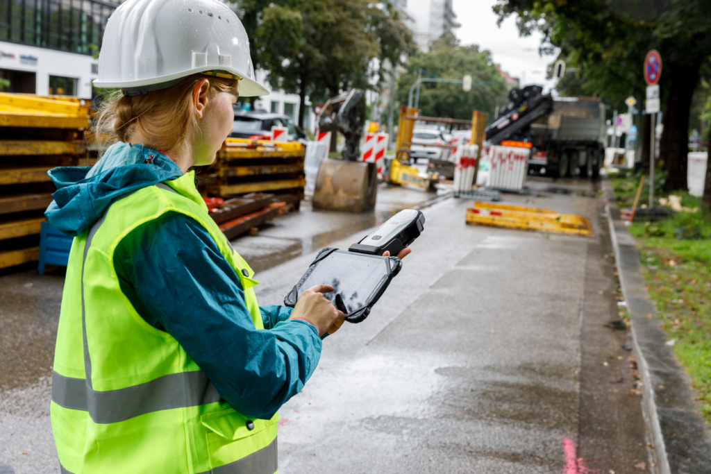
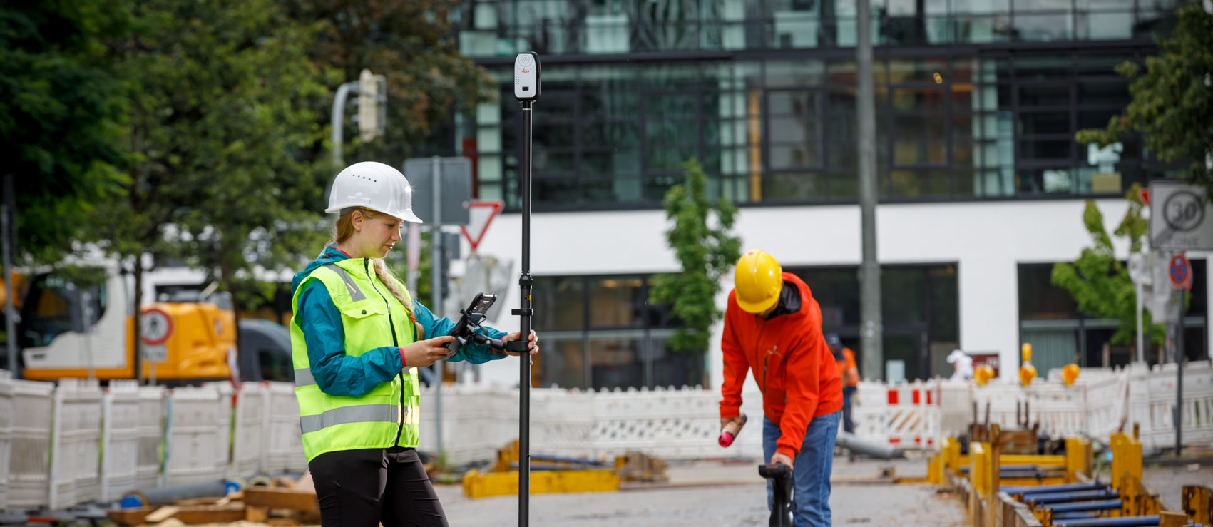
The newest compact, lightweight antennas let you capture spatial data in a simple and flexible way so you can work how you want. For example, the Leica Zeno FLX100 is compatible with all Android and Windows devices and uses a handheld tray that holds your own smartphone or tablet. For higher accuracy data capture, you can use a survey pole leveraging HxGN SmartNet RTK technology.
You can use Leica Zeno Mobile software for the ultimate experience in professional data capture, or pair with Leica Zeno Connect to enable high accuracy positioning in other data collection apps on various operating systems.
The ability to achieve centimeter-level accuracy with a compact, lightweight, easy-to-use and flexible device provides an ideal solution for organizations that are just getting started in GPS/GNSS data capture.
Get the datasheet.
Request a demo.
Get High Accuracy Everywhere
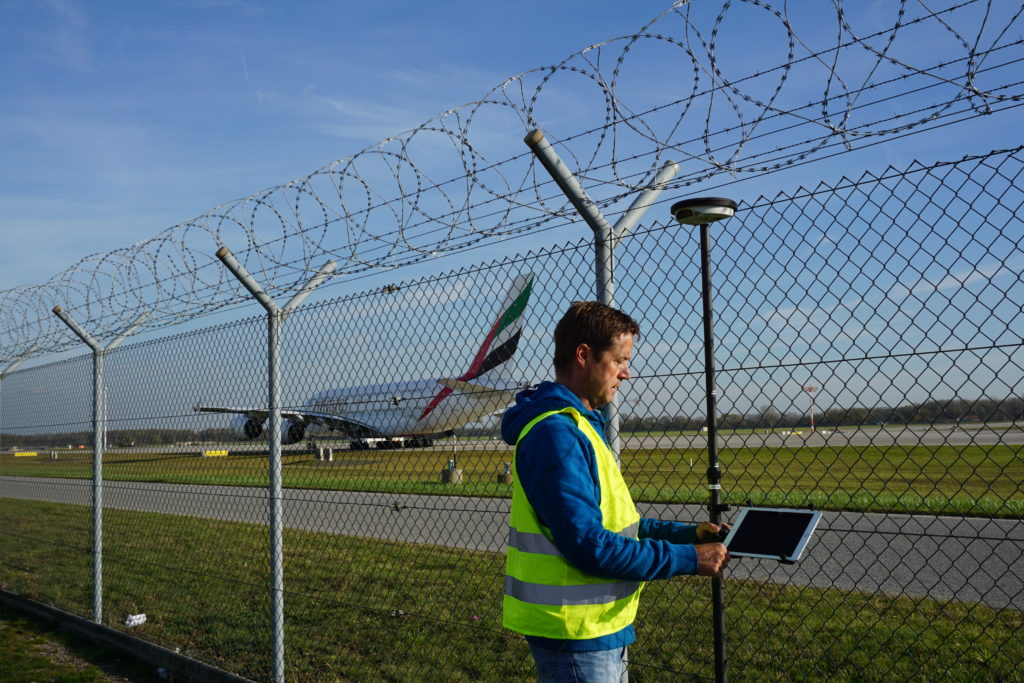
Rugged, flexible and easy-to-use smart antennas like the Leica Zeno GG04 plus use RTK technology and Precise Point Positioning (PPP) to make high-accuracy data collection possible in real-time even in the most demanding of locations without the need for a mobile data connection. The antenna can be used with all existing Leica Zeno handhelds and a wide range of Android, Apple or Windows smart devices and tracks 555 channels to provide maximum reliability.
The Zeno Mobile field software makes it easy to use even by inexperienced field crews. IP68 protection against water and dust along with all-day battery life makes the Zeno GG04 plus a practical solution for high-performance data collection.
Get the datasheet.
Request a demo.
To talk to one of our experts and learn more about how to optimize your mapping potential with technology, please contact us.


