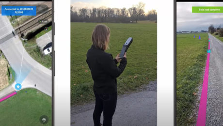
Video: The Easiest Way to Capture and Visualize Utility Infrastructure with High Accuracy
Tuesday, 26 April 2022
Combining high-accuracy GIS data collection with seamless field workflows and the vGIS augmented reality visualization platform delivers next-level intelligence on utility infrastructure.
- Published in Improve Your Skills
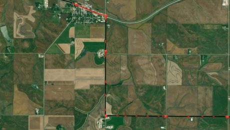
How Precision Underground Utilities Is Making Real-Time, High-Accuracy Underground Utility Maps a Reality
Sunday, 11 July 2021
An underground utility contractor delivers high value GIS with smart antennas and intuitive mobile data capture software.
- Published in Grow Your Business
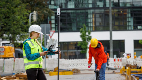
Smart Antennas Enable High-Accuracy GIS Data Collection
Tuesday, 01 June 2021
Compact, affordable, easy to use and highly flexible, the latest smart antennas provide centimeter-level accuracy for intelligent asset mapping.
- Published in Improve Your Skills


