Sustainable Land Development Requires Better Maps. Here’s How Soil and Land Use Experts Are Delivering More Precision
Wednesday, 01 March 2023
Advanced GIS data collection hardware and software empowers soil scientists to provide next-level land intelligence.
- Published in Grow Your Business
Video: The Easiest Way to Capture and Visualize Utility Infrastructure with High Accuracy
Tuesday, 26 April 2022
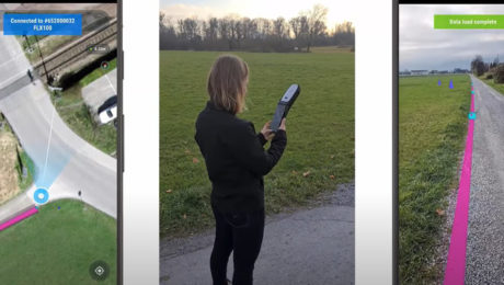
Combining high-accuracy GIS data collection with seamless field workflows and the vGIS augmented reality visualization platform delivers next-level intelligence on utility infrastructure.
- Published in Improve Your Skills
How Precision Underground Utilities Is Making Real-Time, High-Accuracy Underground Utility Maps a Reality
Sunday, 11 July 2021
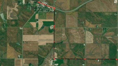
An underground utility contractor delivers high value GIS with smart antennas and intuitive mobile data capture software.
- Published in Grow Your Business


