Advanced GIS data collection hardware and software empowers soil scientists to provide next-level land intelligence.
A land developer evaluating a sizeable tract of land to determine the suitability of the site for construction has one primary goal: maximizing profitability while minimizing risk.
More usable land means the developer has more lots to build on and sell. But an overly aggressive estimate of usable land can cause repercussions from regulators and increase liability from future owners. Having an accurate map of soil quality, soil moisture, vegetation cover, local regulations and other information is crucial to making informed decisions about whether to pursue a project and creating a plan for how to best use the land for the desired purpose.
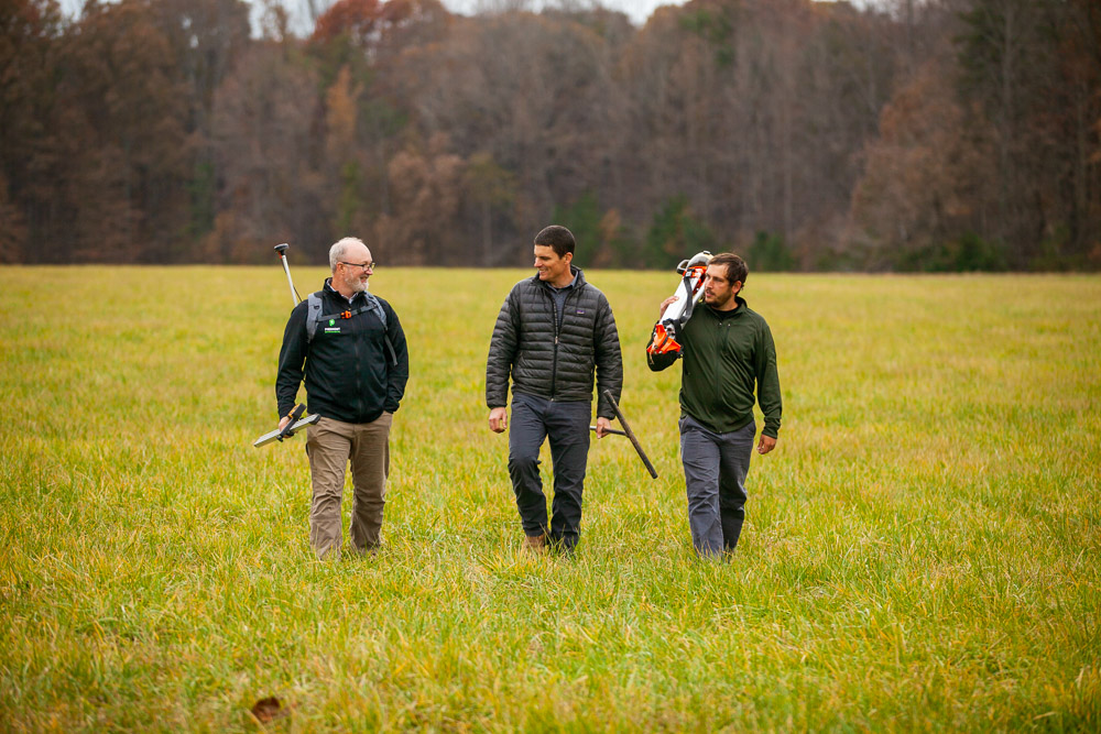
The most common approach to soil mapping is a soil survey. This involves collecting information about the soils in an area through field surveys and laboratory analysis. The data collected from these surveys can then be used to create detailed maps that show the different types of soils present in an area.
But there’s a catch. If the field data is collected by hand or by a low-accuracy instrument, the resulting map will be missing valuable details.
“If precise measurement can free up another half-acre of soil over traditional by-hand data collection methods on an 80-acre tract of land, that’s an extra two lots for the developer,” says Jim Beeson, managing principal and project manager of Piedmont Environmental Associates, a soil and environmental consulting service in North Carolina. “Obviously, the exact benefit is dependent on the land’s value, but an improvement like that could result in $150,000 extra in a developer’s pocket.”
Precise GPS Measurements Drive Profitability
Piedmont Environmental Associates relies on precise measurements from top-notch GPS/GNSS antennas to create geographic information system (GIS) maps of soil quality that accurately capture the reality of the underearth conditions. Higher-quality maps allow developers to get the most out of a tract of land, which can directly impact their bottom line.
Piedmont’s approach to soil mapping is founded on a combination of experience and a strategic investment in GIS and GPS technology. Initially, the company may study a county soil map to get an understanding of the soil types likely present on the property. However, Piedmont ultimately builds their own base map within GIS software, utilizing LiDAR data to ensure the map’s accuracy.
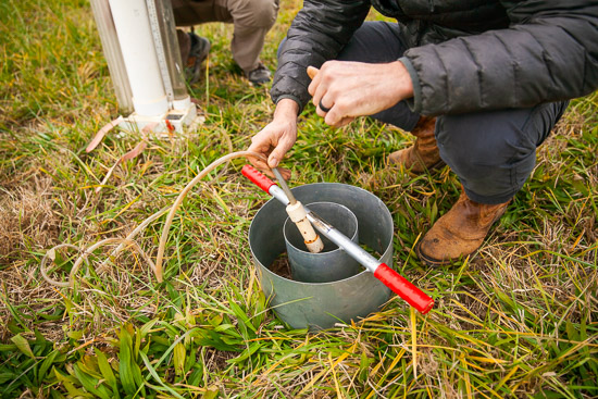
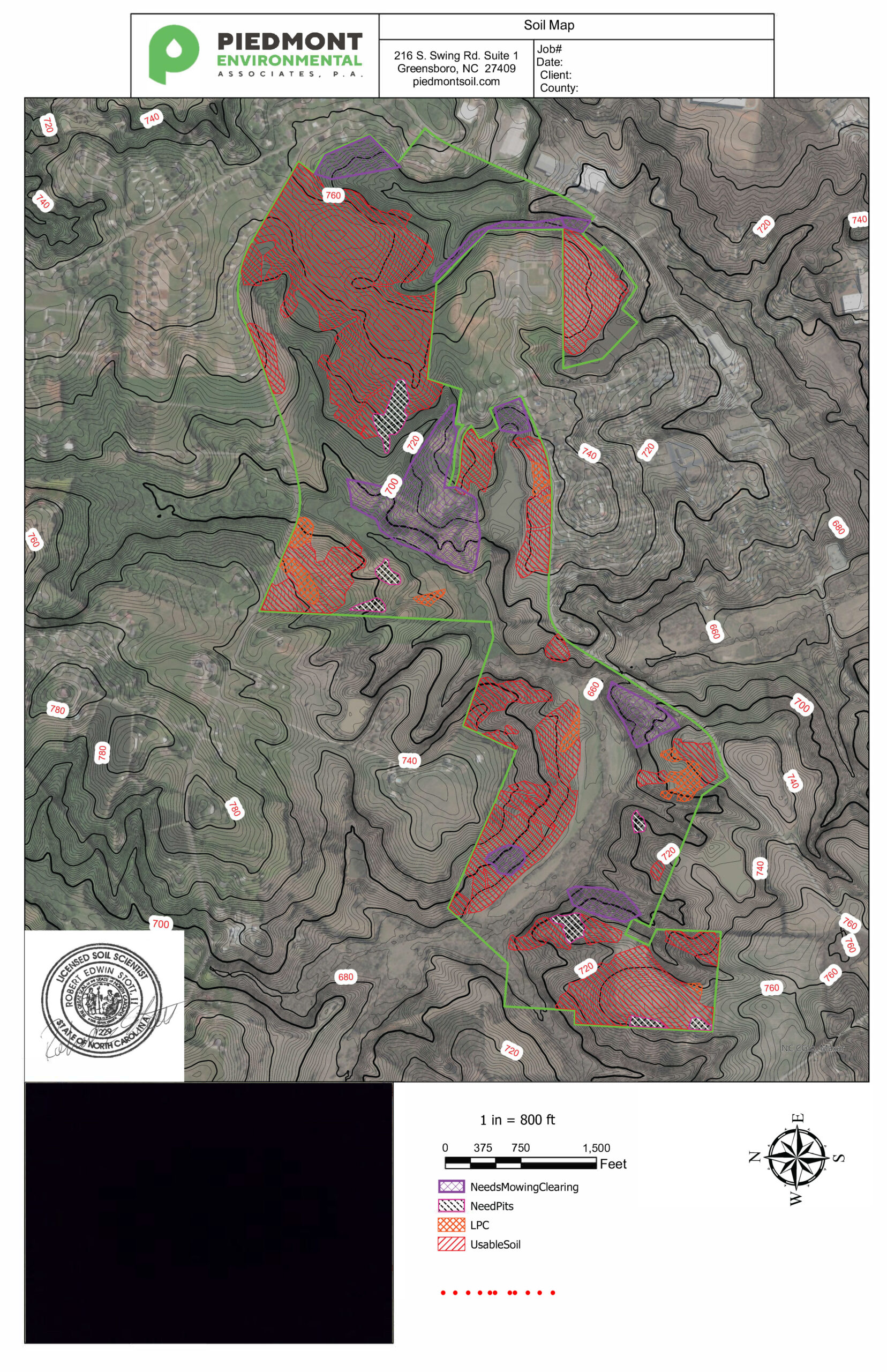
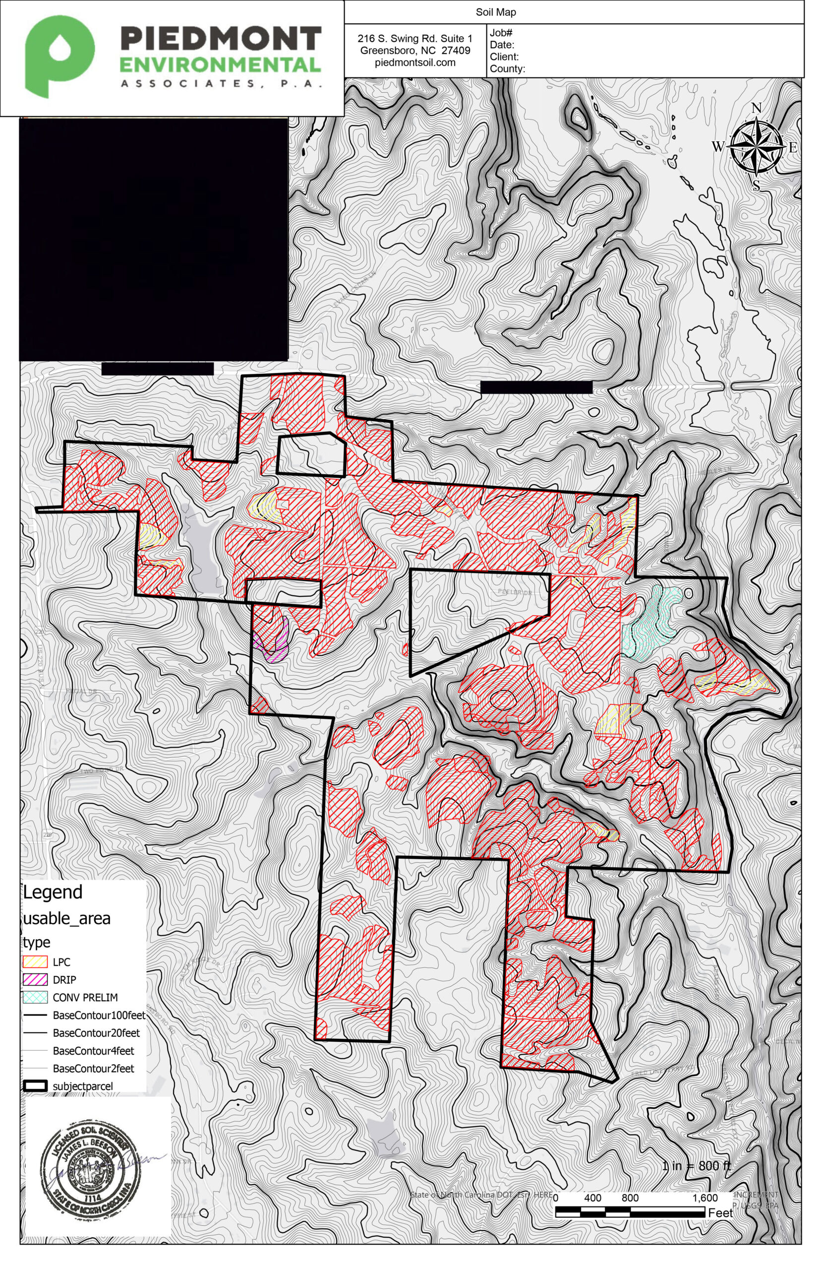
Once the base map is created, Piedmont sends scientists to collect the soil data. If mapping for septic field usage, the scientists would bore holes to measure the soil’s quality, and they would then use a GPS antenna to record the precise positioning of those boring holes. The data is then visualized into a soil map sent to the land planner, who can decide on the division of land into lots and the placement of septic fields after seeing the boundary of usable soil.
“If we did this by hand or with an inaccurate GPS, the soil line might need to be more conservative, and we may not be able to use certain plots of land for building,” Jim said. “But if we precisely mapped those soils and have confidence in the data, we may be able to show that the land is usable. We have to be able to depend on our GPS units to map our soil lines accurately.”
Selecting the Right Mapping Solution for the Job
Piedmont’s innovative business model and its quality deliverables rests on the bedrock of an investment in precise, quality hardware. A smart GPS antenna is needed to map the soil data, and that antenna will need to be precise while also being rugged enough to withstand repetitive use in harsh conditions.
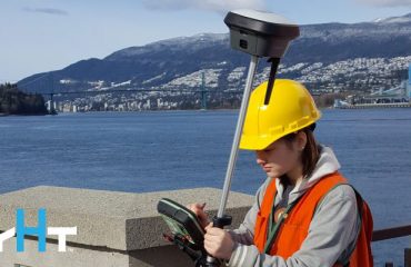
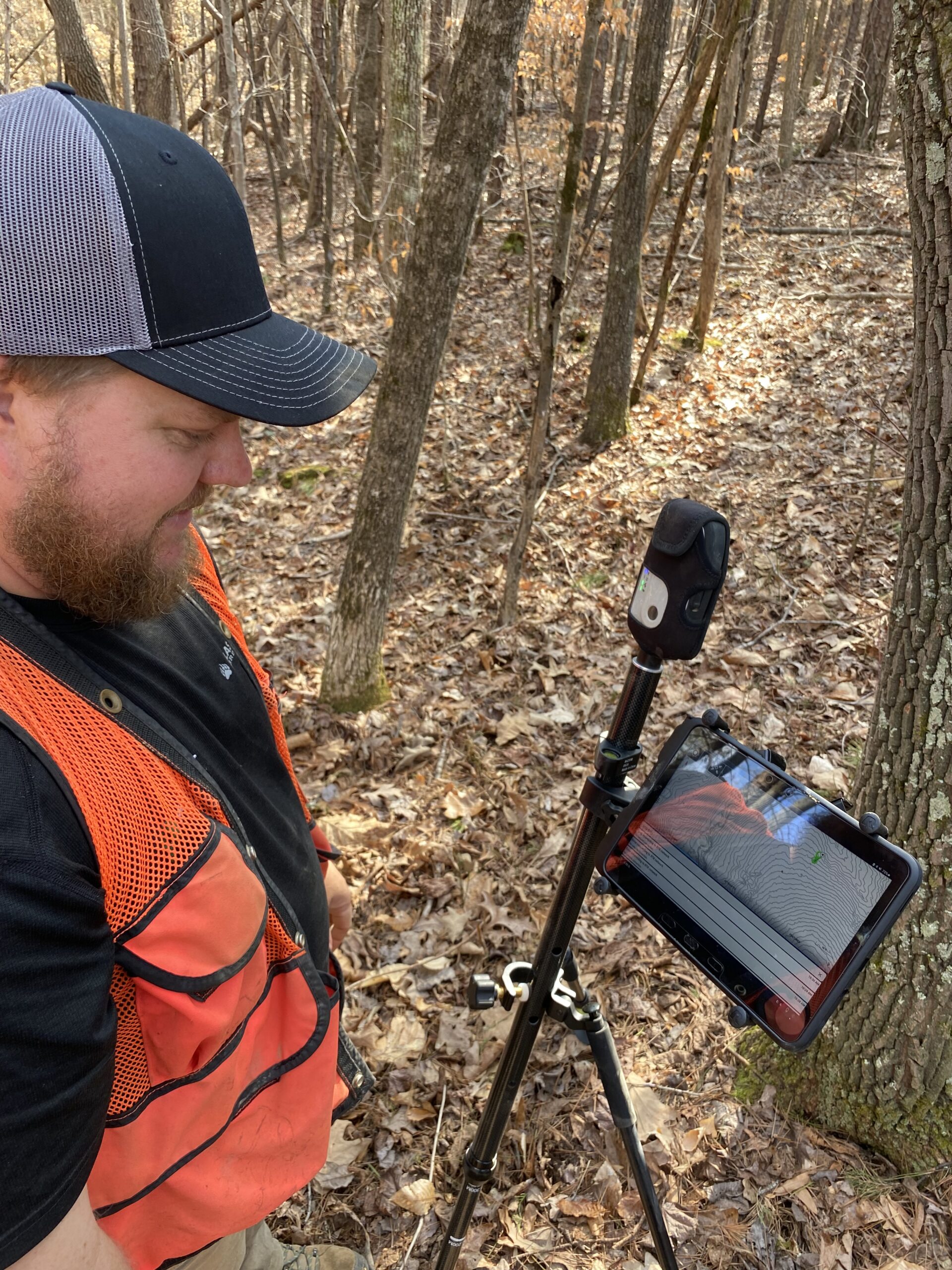
After testing various solutions, Piedmont settled on the Leica Zeno FLX100 plus smart antenna, a data capture solution that can maintain 2-centimeter measurement accuracy.
Since the FLX100 plus is free of wires, Piedmont employees do not need to worry about the hardware getting tangled in thickets and briars. The solution is also dust- and water-resistant and has over 20 hours of battery life.
“It’s small and compact,” said Edwin Stott, managing principal and project manager at Piedmont. “It can fit on a belt, pole, or backpack. Plus, it works with Android and Apple products. We have scientists with different smartphone preferences, and we have not had any issues at all with them connecting.”
The FLX100 plus also integrates easily with Esri’s FieldMaps App and eases cross-team collaboration on complex projects.
“One of the best things about the FLX100 plus coupled with Esri’s product is our ability to see data in real time,” Edwin added. “This is vital when we have a large group working on a project, recording and processing data simultaneously.”
“One of the best things about the FLX100 plus coupled with Esri’s product is our ability to see data in real time. This is vital when we have a large group working on a project, recording and processing data simultaneously.”
For data capture in situations when cellular reception is not available, Piedmont has just begun using the Zeno Mobile app. When a cell network is either too weak or completely absent (often the case in Western North Carolina where the state meets the Appalachians), scientists can use cloud-based GIS data in an offline environment while supporting post-processing (also known as differential correction) techniques to obtain high accuracy positioning. The data is then post-processed on their mobile devices when they once again have access to an internet-connected environment with the simple push of a button.
This approach significantly streamlines workflows. Instead of offloading data to another computer for complex correction methodologies, the scientists can access all the data they need directly on their phone or tablet. At the end of the day, the data is simply exported to a cloud account where mapping technicians can access it and start building maps, eliminating the need for field staff to constantly check back into the office. Office staff also has near instant access to field-collected data when needed.
As compelling as the capabilities of the hardware and software were, Piedmont management also wanted to make sure they would be supported with their investment into this technology should there be any obstacles to a streamlined adoption.
“What really sold us on Leica was the customer service,” Edwin said. “When we first got the FLX100 plus, we were trying to get it set up correctly. We called the phone number for the Leica representative, and he stayed on that telephone with me until I had the unit working properly. I have not experienced that level of customer service in my 26 years of doing this.”
Comprehensive and Superior Services Through Technology
Piedmont was founded with a single vision: Providing soil and environmental consulting services that are both superior and comprehensive. By utilizing GIS and GPS technology, Piedmont empowers land developers to increase profitability while retaining the confidence that the money was earned without cutting corners.
To talk to one of our experts and learn more about GIS and mapping solutions, contact us.
