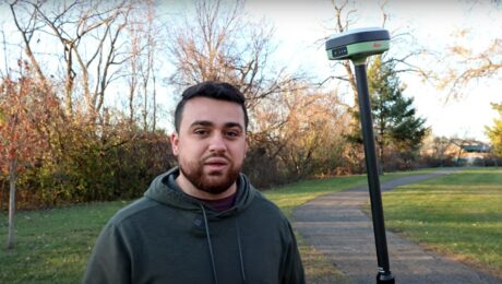
Video: When Should You Upgrade Your GNSS Surveying Technology?
The latest state-of-the-art in GNSS surveying technology provides impressive capabilities, but when should you consider an upgrade? Rami Tamimi compares the performance of an older model Leica GS15 with a Leica GS18 – and achieves surprising results.
- Published in Featured Grow Your Business, Grow Your Business
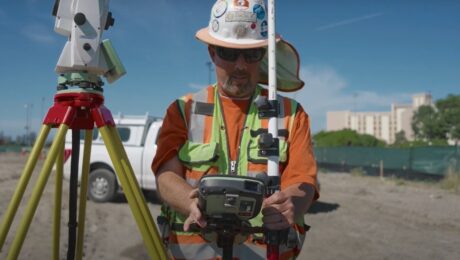
Technology Review Video: HxGN GeoCloud Drive Is ‘A Huge Saver of Time, Effort, and Frustration’
Surveyors from BKF Engineers talk about how the cloud service helps them save time and eliminate frustration through instant collaboration between the field and office.
- Published in Grow Your Business
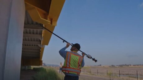
Technology Review Video: AP20 AutoPole Is ‘The Best Tool I Have, Ultimately Saving Time’
Surveyors from BKF Engineers share how the innovative smart prism pole technology enables them to be highly efficient and effective on complex projects.
- Published in Grow Your Business
Technology Review Video: HxGN SmartNet GNSS Correction Service ‘Shortcuts Our Work and Worries’
Surveyors from BKF Engineers discuss the impact of a reliable RTK network on their ability to deliver client satisfaction.
- Published in Grow Your Business
Video: Rami Tamimi’s First Look at the New Leica GKP100 Keypad and CC180 Tablet
Rami Tamimi was one of the first to check out the new Captivate survey field controller options. What does he think?
- Published in Featured Grow Your Business, Grow Your Business
REALITY CAPTURE EDUCATION SERIES:
When to Use a Handheld Laser Scanner as a Surveying Tool
Join Eric Cowan in this on-demand session to explore key considerations for evaluating and applying this fast, flexible reality capture technology.
- Published in Featured Improve Your Skills, Improve Your Skills
Video: Tech Insider – What R.W. Engineering & Surveying Finds Most Surprising About the Leica Pegasus TRK Mobile Mapping System
Discover why the civil engineering and land surveying firm chose the TRK and why they see it as a game changer for so many surveying and mapping applications.
- Published in Grow Your Business
Video: Tech Insider – What Drives Jason Ellis?
Go behind the scenes with Jason Ellis to explore why so many Leica Geosystems mobile mapping customers consider Jason a trusted advisor, mentor, and friend.
- Published in Grow Your Business
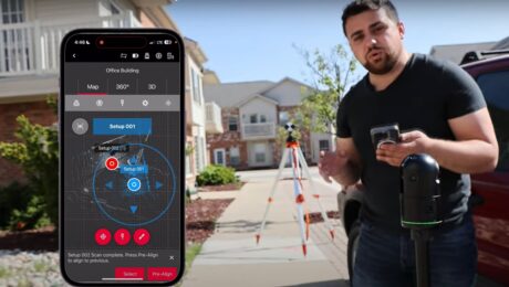
Video Review: Rami Tamimi Evaluates the New BLK360 Imaging Laser Scanner
Can you use the second-generation BLK360 as a surveying tool? Rami puts the technology to the test in this video.
- Published in Grow Your Business
