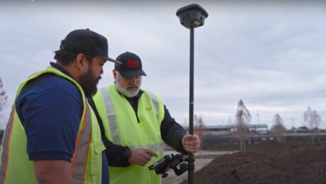
Video: How to Deliver Stockpile Measurements in Minutes with RTK GNSS
Burke Asay shows how to complete your survey in 60 seconds and make the data instantly accessible in the office, with just a few extra minutes for processing and reporting. Is your workflow that fast?
- Published in Improve Your Skills
REALITY CAPTURE EDUCATION SERIES:
How to Cut Your Drone Survey Workflow from Hours or Days to Minutes
Join Seth Gulich in this on-demand session to see how easy it can be to go from field to finish with your drone data using Cyclone 3DR software.
- Published in Improve Your Skills
REALITY CAPTURE EDUCATION SERIES:
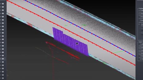
Two Easy Ways to Achieve Grid to Ground Coordinate Transformations with Mobile Mapping
Join Kyle Palmer in this on-demand session to learn how easy it can be to localize and transform the coordinate values in your mobile mapping projects.
- Published in Featured Home, Featured Improve Your Skills, Improve Your Skills
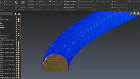
Video: How to Create a High-Value Cross Section Survey Report in Minutes
Jonathan Efaw shows how to rapidly create a high-value, actionable report of tunnel cross sections in Leica Cyclone 3DR software.
- Published in Improve Your Skills
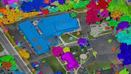
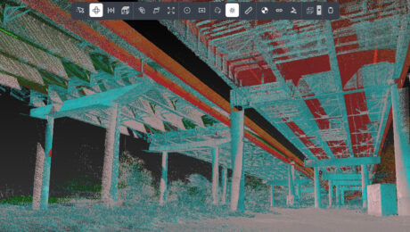
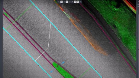
Video: High-Efficiency Point Cloud Reclassification for Mobile Lidar
Kyle Palmer, RPLS, demonstrates the speed and simplicity of manually reclassifying mobile lidar data with the latest point cloud processing tools.
- Published in Improve Your Skills
REALITY CAPTURE EDUCATION SERIES:
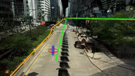
One-Button Mobile Mapping Workflows with Cyclone Pegasus Office
Join Jason Ellis in this on-demand session to learn how to harness the power of automation in the new Leica Cyclone Pegasus Office software.
- Published in Featured Home, Featured Improve Your Skills, Improve Your Skills
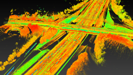
Video: The Power of Mobile Mapping with Onboard SLAM Technology
Jason Ellis shows how onboard Simultaneous Localization and Mapping (SLAM) technology affects the efficiency of mobile mapping data collection.
- Published in Improve Your Skills
Video: The Mobile Mapping Office Workflow That Gets Data Out Quickly
Kyle Palmer, RPLS, shows the key to making mobile mapping data management and deliverable creation as fast and easy as the field data collection.
- Published in Improve Your Skills
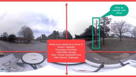
How to Stop Overpaying for Your Mobile Mapping Imagery
If you’re assessing your mobile mapping capabilities in terms of megapixels and image quality instead of image value, you’re leaving money on the table, says Jason Ellis. Here’s how to change it.
- Published in Grow Your Business
Esri UC 22 Highlights: The Future of GIS Data Collection, Mobile Reality Capture, GPR Utility Detection and More
Explore the fastest, simplest solutions for capturing and delivering high-accuracy mapping data at Booth 619.
- Published in Featured Improve Your Skills, Improve Your Skills
