How to Easily Automate Survey Data Management with Stylesheets
Still exporting data using ASCII or format files? Stylesheets provide an easy and flexible way to automate the process—and achieve a more impressive outcome.
- Published in Improve Your Skills
Secrets from the Surveying Firm That Is Accelerating Solar Farm Construction
Combining the speed of a tilt rover with the automation of stylesheets has propelled Challenger Geomatics to the forefront of high-efficiency surveying for large-scale renewable energy projects.
- Published in Featured Grow Your Business, Featured Home, Grow Your Business
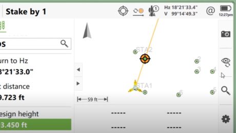
New Field App Makes Staking Workflows Fast and Easy
An app that app does all the work while you maintain all the control? That’s what you’ll find in Captivate Quick Stake.
- Published in Improve Your Skills
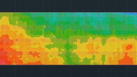
Video: How to Accelerate FF/FL Reporting with a Simple Software Plugin
Peyton Hatch shows an easy way to create FF/FL reports from point clouds using Leica CloudWorx.
- Published in Improve Your Skills
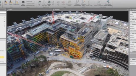
On-Demand Webinar Shows Optimal Survey Data Workflow Using Infinity Software
If you’re still taking your GNSS and other survey data directly from the field into CAD, you need to see what you’re missing.
- Published in Improve Your Skills
Infinity Tutorial Video: How to Create a Flythrough
Learn how to share project overviews by easily turning your survey data into short videos and screencasts.
- Published in Improve Your Skills
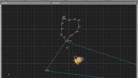
Infinity Tutorial Video: How to Process a Traverse and Update Setups
Learn how to process terrestrial data to ensure it’s in the correct local coordinate system, check the traverse results, and create a report.
- Published in Improve Your Skills
How Cross-Training Drives Productivity in Mobile Mapping
The back-office adjustments of mobile mapping are easy to navigate as long as you prepare for them and offer training to your workforce.
- Published in Improve Your Skills

