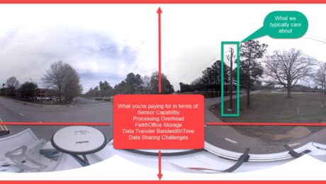
How to Stop Overpaying for Your Mobile Mapping Imagery
If you’re assessing your mobile mapping capabilities in terms of megapixels and image quality instead of image value, you’re leaving money on the table, says Jason Ellis. Here’s how to change it.
- Published in Grow Your Business
How Arora and Associates, P.C., Became a Global Leader in Mobile Mapping Capabilities
The family-owned consulting engineering firm is the world’s first company to use the Leica TRK500 Neo mobile mapping system—but a commitment to technology innovation is just part of the story.
- Published in Featured Grow Your Business, Grow Your Business
Arora and Associates, P.C., Becomes First Company Worldwide to Invest in Leica Pegasus TRK500 Neo
Adding autonomous, intelligent mobile mapping capabilities to its award-winning engineering, surveying, planning and construction management services gives the consulting engineering firm an edge in projects requiring fast turnaround and exceptional quality.
- Published in Featured Grow Your Business, Featured Home, Grow Your Business
Video – The Future of Mobile Mapping: The Leica Pegasus TRK
In this TUC22 presentation, Jason Ellis explains why the latest innovation in mobile mapping will change how you think about reality capture.
- Published in Improve Your Skills
Need to Move Your Transportation Engineering Surveys into Overdrive? This New Mobile Mapping System Holds the Key
Jason Ellis explains how the new Leica Pegasus TRK mobile mapping system provides a giant leap forward in efficiency.
- Published in Improve Your Skills
New Mobile Mapping Technology Transforms Project Efficiency
The new Leica Pegasus TRK mobile mapping system combines artificial intelligence, autonomous workflows and intuitive interfaces to make mapping projects efficient and cost-effective.
- Published in Featured Home, Featured Improve Your Skills, Improve Your Skills
Where Is Mobile Mapping Headed Next?
Improving data quality and delivery are essential to empowering a broader user base, explains Jason Ellis. But how will these challenges be overcome?
- Published in Improve Your Skills
How to Easily Automate Survey Data Management with Stylesheets
Still exporting data using ASCII or format files? Stylesheets provide an easy and flexible way to automate the process—and achieve a more impressive outcome.
- Published in Improve Your Skills
Secrets from the Surveying Firm That Is Accelerating Solar Farm Construction
Combining the speed of a tilt rover with the automation of stylesheets has propelled Challenger Geomatics to the forefront of high-efficiency surveying for large-scale renewable energy projects.
- Published in Featured Grow Your Business, Featured Home, Grow Your Business
New Field App Makes Staking Workflows Fast and Easy
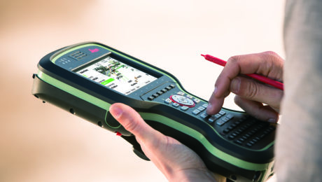
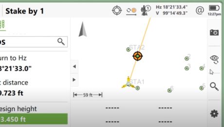
An app that app does all the work while you maintain all the control? That’s what you’ll find in Captivate Quick Stake.
- Published in Improve Your Skills
