Improving data quality and delivery are essential to empowering a broader user base, explains Jason Ellis. But how will these challenges be overcome?
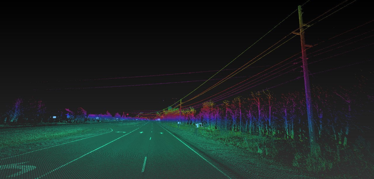
Mobile mapping is an innovative technology, the culmination of tried-and-true sensors and techniques merged into a solution that provides a wealth of accuracy and detail on the environments it passes through.
Mobile mapping platforms streamline our field collections, achieving in minutes what would typically take days or weeks to achieve. The density of the data and its usefulness in an array of applications is staggering. Perhaps most important, mobile mapping offers a safe alternative to our fellow surveyors who often work in harm’s way in an all too distracted and impatient right of way.

Mobile Mapping Provides Clear Value - With a Caveat
Like static scanning, the capability and value of mobile mapping is undisputed. However, the industry still grapples with the logistics of field operations and producing deliverables as systems and workflows can be disjointed and complex, often requiring expertise from a shallow bench of industry specialists who understand the fundamentals and can produce results.
The challenge we have in mobile mapping is improving the quality of data and its path to delivery while empowering a broader user base to access and employ this technology without requiring full spectrum mastery of the fundamentals that make up the solution.
Reaching Toward a Higher Standard of Usability
Overcoming this challenge is certainly important for businesses to flourish with mobile mapping. But it is also imperative that the industry rises to a higher standard of usability in order to meet society’s increasing infrastructure demands for passenger and autonomous transportation, environmental challenges with regard to utility and disaster management, and the need to refine and bolster our rail systems and shipping yards in terms of improving passenger rail and supply chain capabilities.
These challenges all persist in tandem with a skill shortage in the industry. There is no lack of problems that mobile mapping can help address, but there is a deficit of experience in our workforce to help arrive at those solutions.
A Future That Is Intuitive and Rewarding
This is one reason I am excited for the future of mobile mapping that Leica Geosystems is forging. We continue the push forward to deliver amazing results, but we are also focused on making the whole field to finish experience intuitive and rewarding.
What do you think are the biggest barriers to mobile mapping today? Where do you struggle with implementing the technology?
I welcome your feedback and would value the opportunity to discuss these challenges with you.
About the Author:

For over 20 years Jason Ellis has been an agent of change by way of technology and a passionate advocate of all things geospatial. Every day he works to help organizations transform their potential by exploring and implementing mobile reality capture solutions. As the North American mobile mapping sales and technical consultant for Leica Geosystems, he works closely with collaborators who are driving reality capture and helping to shape the landscape of the industry. Follow Jason on LinkedIn.
To talk to one of our experts and learn more about mobile mapping or other ways to optimize your surveying potential, please contact us.


