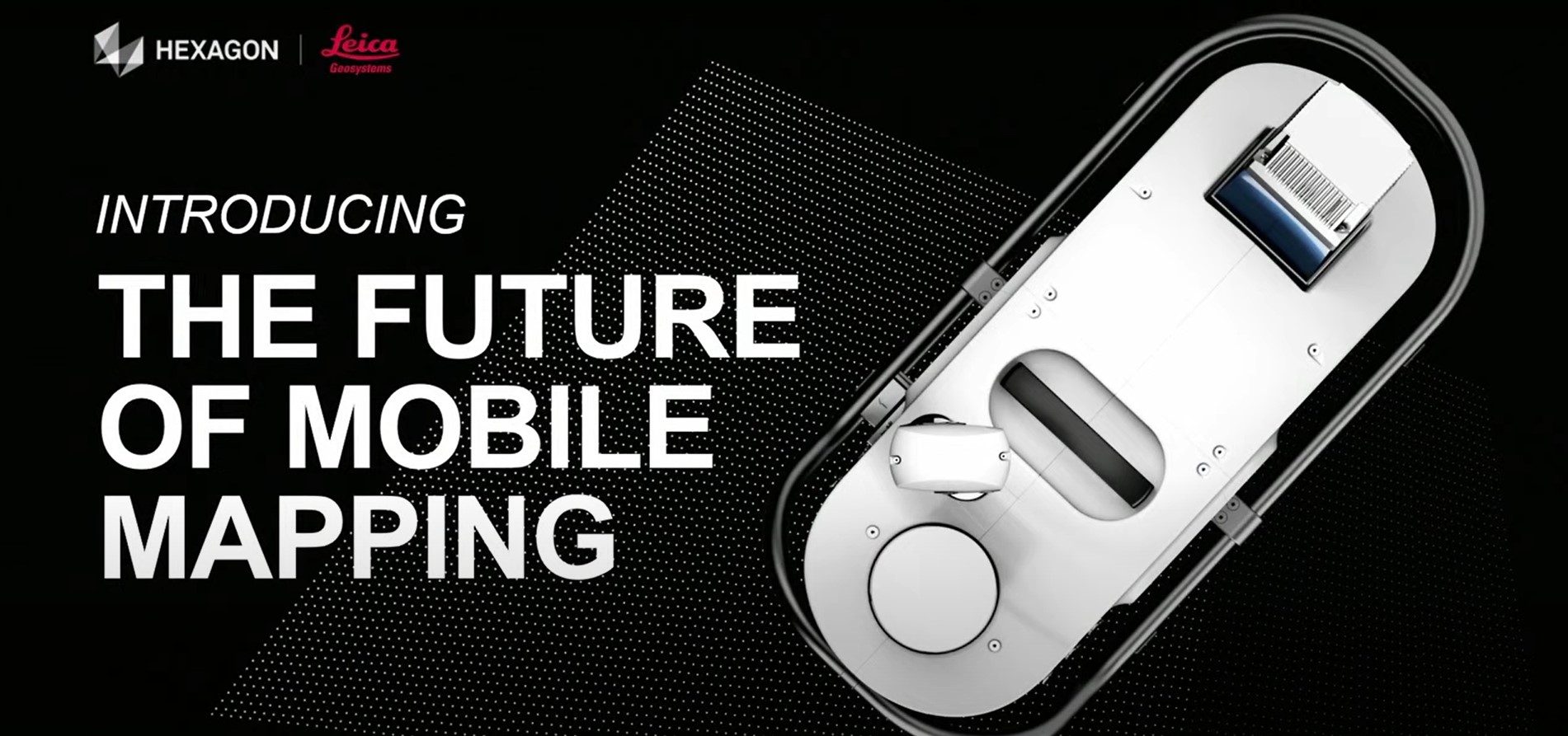
In this TUC22 presentation, Jason Ellis explains why the latest innovation in mobile mapping will change how you think about reality capture.
The last 10 years have seen significant advances in mobile mapping. The ability to capture survey-grade data while traveling at roadway speeds, capture simultaneously for engineering and asset management needs (“map it once, use it many times”), and capture from any platform with a single flexible system has created significant advantages for transportation infrastructure and a host of other applications. At the same time, increasing automation and artificial intelligence in processing software, along with improved integrations with TopoDOT, have streamlined data workflows. Mobile mapping is now specified in an increasing number of projects, creating a significant opportunity for professionals who understand the technology now, what’s driving it, and where it’s headed next with the new Leica Pegasus TRK.
In this presentation from the 2022 TopoDOT User Conference, Jason Ellis to explores the future of this fast-track reality capture approach.
Watch the video to learn more.
To talk to one of our experts and learn more about mobile mapping or other ways to optimize your surveying potential, please contact us.


