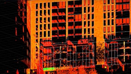
Video: Easy Scanning, Import, and Editing with a Scanning Total Station and Surveyor-Focused CAD Software
Leica Geosystems’ Andrew Gillis and MicroSurvey’s Kailey Graves show how to streamline an as-built survey workflow by pairing the MS60 MultiStation with MicroSurvey CAD software.
- Published in Improve Your Skills
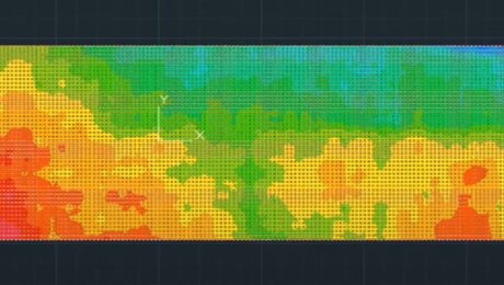
Video: How to Accelerate FF/FL Reporting with a Simple Software Plugin
Peyton Hatch shows an easy way to create FF/FL reports from point clouds using Leica CloudWorx.
- Published in Improve Your Skills
Video: How GNSS with Visual Positioning Creates New Opportunities for Surveyors
If your RTK rover could see, how would that transform the services you offer your clients? What new doors would it open? Here’s one idea to consider.
- Published in Grow Your Business
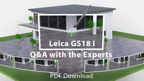
Interactive PDF Answers FAQs About the GS18 I GNSS RTK
This at-a-glance summary from the recent Q&A webinar covers the questions surveyors are asking most about the new GNSS RTK with visual positioning.
- Published in Improve Your Skills
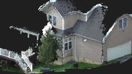
The Real Value of Point Clouds from Images
With the ability to generate point clouds from images, is laser scanning becoming obsolete? The answer might surprise you.
- Published in Featured Home, Featured Improve Your Skills, Improve Your Skills
Clean Data, Survey Versatility Among Key Reasons to Use a MultiStation
Why should you consider using a MultiStation? Users cite clean and accurate point cloud data along with the ability to get fast, precise total station measurements in one solution.
- Published in Grow Your Business
